UN/LOCODE hub · United States
USCXX
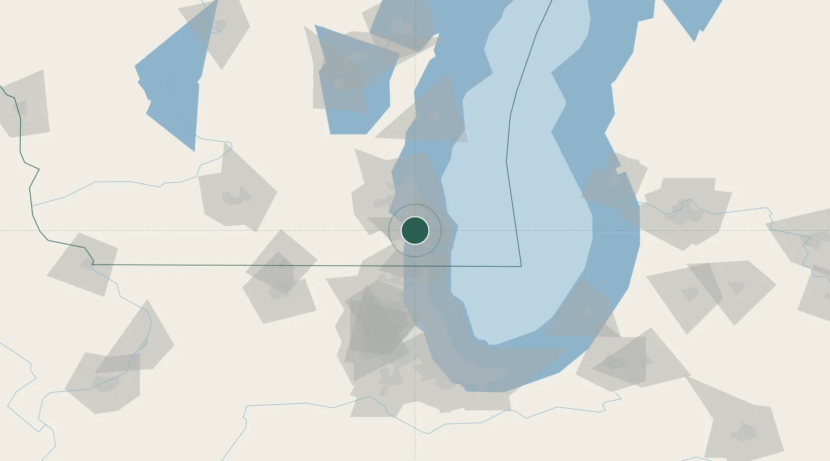
Caledonia
42.8000°, -87.9167°
24,684
Population
3
Transport functions
Transport Functions
Rail
Road
Multimodal
Hub Profile
Place type
Populated place
Region
Wisconsin
Population
24,684
Time zone
America/Chicago
Elevation
220 m
Location
Nearby Logistics Neighbours
Cities
- 1Raymond8 km
- 2South Milwaukee12 km
- 3Milwaukee13 km
- 4Kansasville21 km
- 5Muskego21 km
Ports
- 1Racine13 km
- 2Kenosha25 km
- 3Milwaukee26 km
- 4Waukegan49 km
- 5Great Lakes56 km
Airports
Trade Zones
- 1FTZ No. 041 Milwaukee33 km
- 2FTZ No. 292 Lake County53 km
- 3FTZ No. 022 Chicago108 km
- 4FTZ No. 019 Omaha110 km
- 5FTZ No. 176 Rockford122 km
DatabookThe Record of Consolidated Knowledge
United States beyond logistics?