UN/LOCODE hub · United States
USPLP
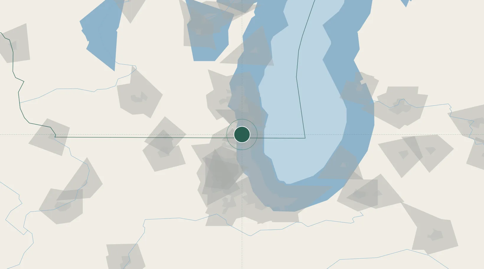
Pleasant Prairie
42.5500°, -87.9333°
20,726
Population
4
Transport functions
Transport Functions
Port
Rail
Road
Multimodal
Hub Profile
Place type
Populated place
Region
Wisconsin
Population
20,726
Time zone
America/Chicago
Elevation
212 m
Location
Nearby Logistics Neighbours
Cities
- 1Russell8 km
- 2Antioch15 km
- 3Lindenhurst18 km
- 4Kansasville21 km
- 5Waukegan24 km
Ports
- 1Kenosha10 km
- 2Waukegan23 km
- 3Racine24 km
- 4Great Lakes29 km
- 5Milwaukee54 km
Airports
Trade Zones
- 1FTZ No. 292 Lake County26 km
- 2FTZ No. 041 Milwaukee58 km
- 3FTZ No. 022 Chicago80 km
- 4FTZ No. 176 Rockford110 km
- 5FTZ No. 152 Burns Harbor121 km
DatabookThe Record of Consolidated Knowledge
United States beyond logistics?