Transport Functions
Road
Multimodal
Hub Profile
Place type
Provincial seat
Region
Maine
Population
2,596
Time zone
America/New_York
Elevation
77 m
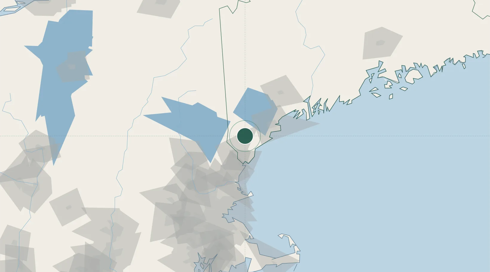
Location
Nearby Logistics Neighbours
Cities
- 1Springvale7 km
- 2Hollis19 km
- 3Saco24 km
- 4Sanbornville27 km
- 5Old Orchard Beach27 km
Ports
- 1Saco22 km
- 2Kennebunkport24 km
- 3Portland43 km
- 4Portsmouth45 km
- 5South Harpswell63 km
Airports
Trade Zones
- 1FTZ No. 081 Portsmouth49 km
- 2FTZ No. 263 Auburn79 km
- 3FTZ No. 027 Boston134 km
- 4FTZ No. 186 Waterville143 km
- 5FTZ No. 268 Brattleboro168 km
DatabookThe Record of Consolidated Knowledge
United States beyond logistics?