UN/LOCODE hub · United States
USSG9
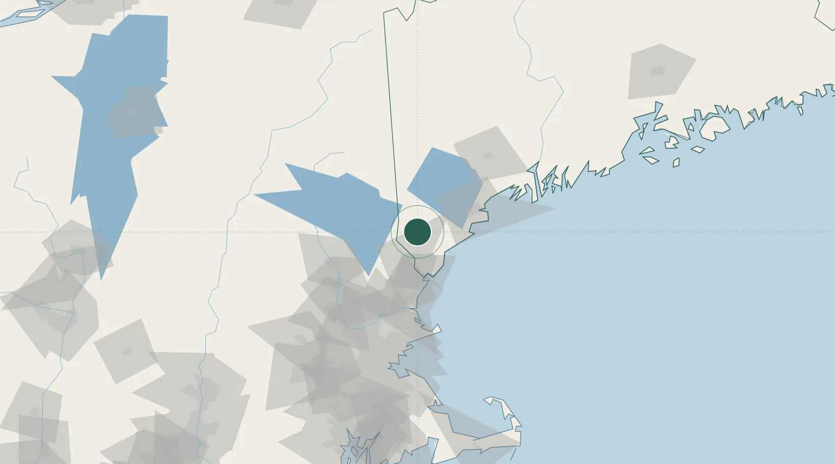
Springvale
43.4667°, -70.8000°
3,292
Population
2
Transport functions
Transport Functions
Road
Multimodal
Hub Profile
Place type
Populated place
Region
Maine
Population
3,292
Time zone
America/New_York
Elevation
110 m
Location
Nearby Logistics Neighbours
Cities
- 1Alfred7 km
- 2Sanbornville21 km
- 3Farmington23 km
- 4Hollis24 km
- 5Rollinsford26 km
Ports
- 1Saco29 km
- 2Kennebunkport29 km
- 3Portsmouth43 km
- 4Portland50 km
- 5South Harpswell70 km
Airports
Trade Zones
- 1FTZ No. 081 Portsmouth46 km
- 2FTZ No. 263 Auburn85 km
- 3FTZ No. 027 Boston131 km
- 4FTZ No. 186 Waterville149 km
- 5FTZ No. 268 Brattleboro161 km
DatabookThe Record of Consolidated Knowledge
United States beyond logistics?