Foreign Trade Zone · United States

FTZ No. 268 Brattleboro Active
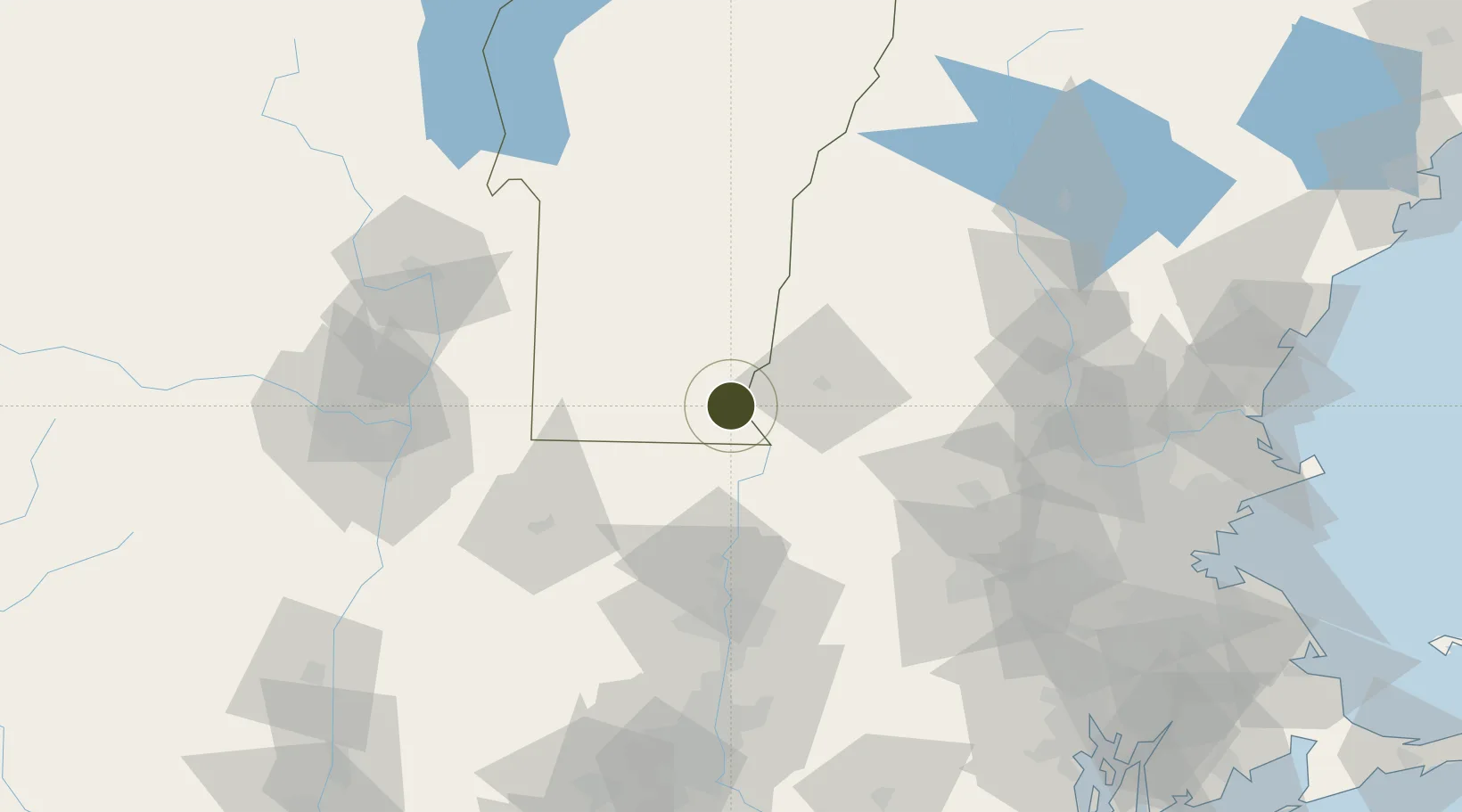
42.8607°, -72.6015°
90.7 km
Nearest port
27.3 km
Nearest airport

Gateway access

Nearest neighbours — logibook spatial index (haversine) over the source coordinates

Zone profile

Zone type
Foreign Trade Zone
Open Zone Map
Region
Vermont
Open Zone Map
Status
Active
Open Zone Map
Management
Public-Private Partnership
Open Zone Map
Operator
Brattleboro Foreign-Trade Zone, LLC.
Open Zone Map
Legal framework
Foreign-Trade Zones Act
Open Zone Map

Location

Location of ozm-4916
Natural Earth 10m (public domain) · Vermont · ozm-4916 · 42.86, -72.60GoogleOSMYandex

Nearby Logistics Neighbours

Ports
  1. 1Troy91 km
  2. 2Albany97 km
  3. 3Rensselaer97 km
  4. 4Catskill125 km
  5. 5Boston139 km
Nearest neighbours — logibook spatial index (haversine) over the source coordinates
Airports
  1. 1Dillant Hopkins Airport27 km
  2. 2Westover Metropolitan Airport / Westover Air Reserve Base74 km
  3. 3Westfield-Barnes Regional Airport79 km
  4. 4Rutland - Southern Vermont Regional Airport80 km
  5. 5Lebanon Municipal Airport89 km
Nearest neighbours — logibook spatial index (haversine) over the source coordinates
Cities
  1. 1Chesterfield11 km
  2. 2Spofford16 km
  3. 3Wilmington22 km
  4. 4West Swanzey23 km
  5. 5Swanzey26 km
Nearest neighbours — logibook spatial index (haversine) over the source coordinates
Trade Zones
  1. 1FTZ No. 201 Holyoke71 km
  2. 2FTZ No. 121 Albany101 km
  3. 3FTZ No. 071 Windsor Locks104 km
  4. 4FTZ No. 027 Boston136 km
  5. 5FTZ No. 081 Portsmouth145 km
Nearest neighbours — logibook spatial index (haversine) over the source coordinates
DatabookThe Record of Consolidated Knowledge
United States beyond logistics?
Browse databook

All Sources

Trade ZonesOpen Zone Map
CC BY
Portsthe NGA World Port Index
Public domain (US gov)
AirportsOurAirports
Public domain
LocationsUN/LOCODE
UN/LOCODE — free
← United States trade zones