Medium airport · United States

Concord Municipal AirportKCON
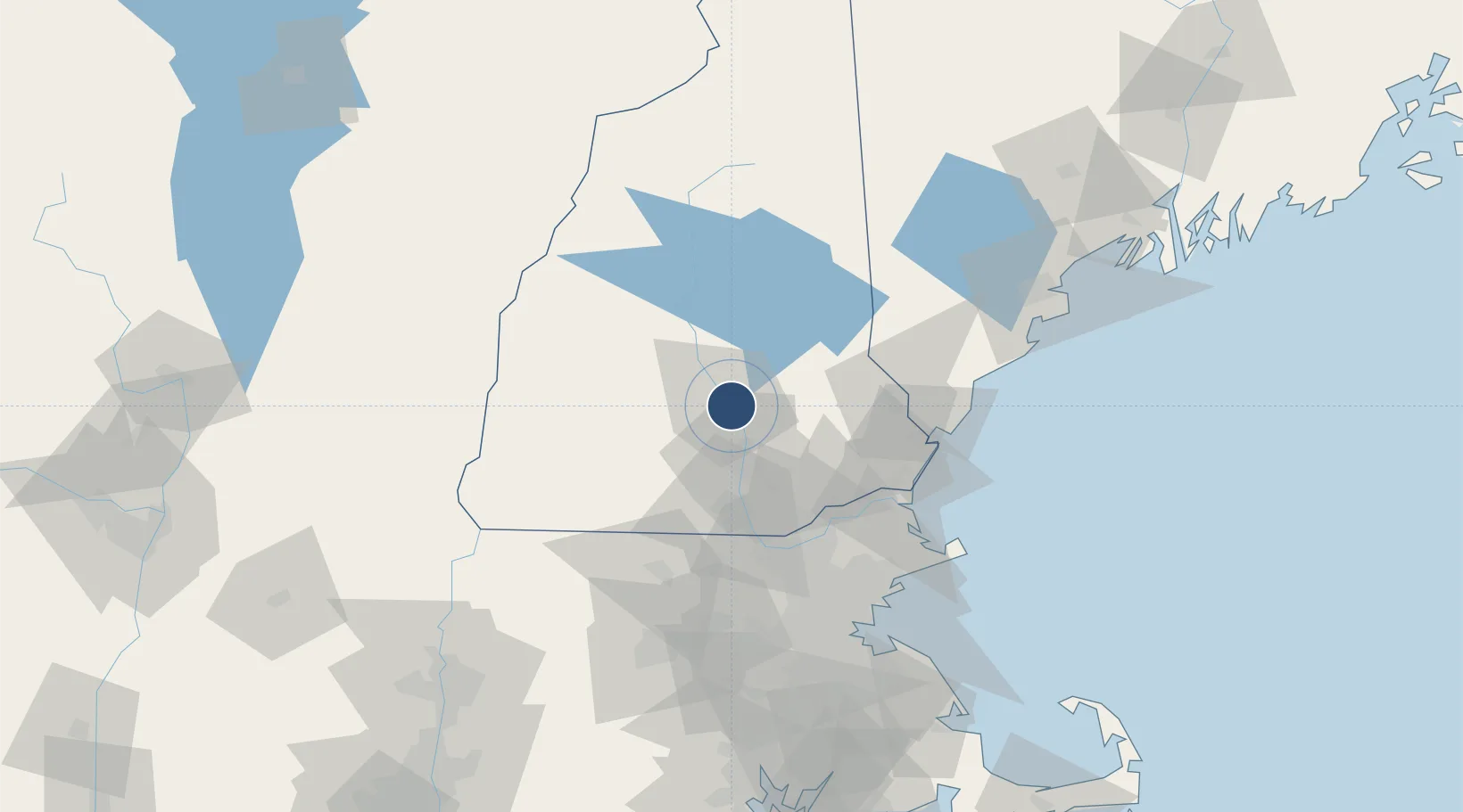
43.2027°, -71.5023°
6,005 ft
Longest runway
2
Runways
342 ft
Elevation

Runway & Layout

Concord Municipal Airport runway & taxiway layout
Runway & taxiway layout — OpenStreetMap (ODbL) / OurAirports

Radio Frequencies

ASOS
132.32 MHz
CLD
133.65 MHz
CLNC DEL
A/D
127.35 MHz
BOSTON APP/DEP
OPS
32.1 MHz
ARNG OPS
RDO
122.3 MHz
BANGOR RDO
UNIC
122.7 MHz
CTAF/UNICOM
OurAirports

Runways · 2

RunwayDimensions SurfaceTrue headingLit
17/35 6,005 × 100ft Asphalt 155°
12/30 3,200 × 75ft Asphalt 105°
OurAirports

Airport Specifications

IATA code
CON
OurAirports
ICAO code
KCON
OurAirports
Airport class
Medium airport
OurAirports
Scheduled service
No
OurAirports
Runway surface
Asphalt
OurAirports
Served city
Concord
OurAirports

Location

Location of KCON
Natural Earth 10m (public domain) · New Hampshire · KCON · 43.20, -71.50GoogleOSMYandex

Nearby Logistics Neighbours

Airports
  1. 1Manchester-Boston Regional Airport31 km
  2. 2Portsmouth International Airport at Pease57 km
  3. 3Lawrence Municipal Airport62 km
  4. 4Dillant Hopkins Airport71 km
  5. 5Lebanon Municipal Airport80 km
Nearest neighbours — logibook spatial index (haversine) over the source coordinates
Cities
  1. 1Allenstown9 km
  2. 2Pembroke9 km
  3. 3Bow Center9 km
  4. 4Loudon9 km
  5. 5Hooksett12 km
Nearest neighbours — logibook spatial index (haversine) over the source coordinates
Ports
  1. 1Portsmouth63 km
  2. 2Newburyport67 km
  3. 3Kennebunkport86 km
  4. 4Beverly90 km
  5. 5Saco91 km
Nearest neighbours — logibook spatial index (haversine) over the source coordinates
Trade Zones
  1. 1FTZ No. 081 Portsmouth56 km
  2. 2FTZ No. 268 Brattleboro97 km
  3. 3FTZ No. 027 Boston104 km
  4. 4FTZ No. 263 Auburn144 km
  5. 5FTZ No. 201 Holyoke147 km
Nearest neighbours — logibook spatial index (haversine) over the source coordinates
DatabookThe Record of Consolidated Knowledge
United States beyond logistics?
Browse databook

All Sources

AirportsOurAirports
Public domain
Portsthe NGA World Port Index
Public domain (US gov)
LocationsUN/LOCODE
UN/LOCODE — free
Trade Zonesthe World Bank SEZ database
CC BY 4.0
Trade ZonesOpen Zone Map
CC BY
InfrastructureOpenStreetMap
ODbL 1.0
← United States airports