Transport Functions
Port
Rail
Road
Hub Profile
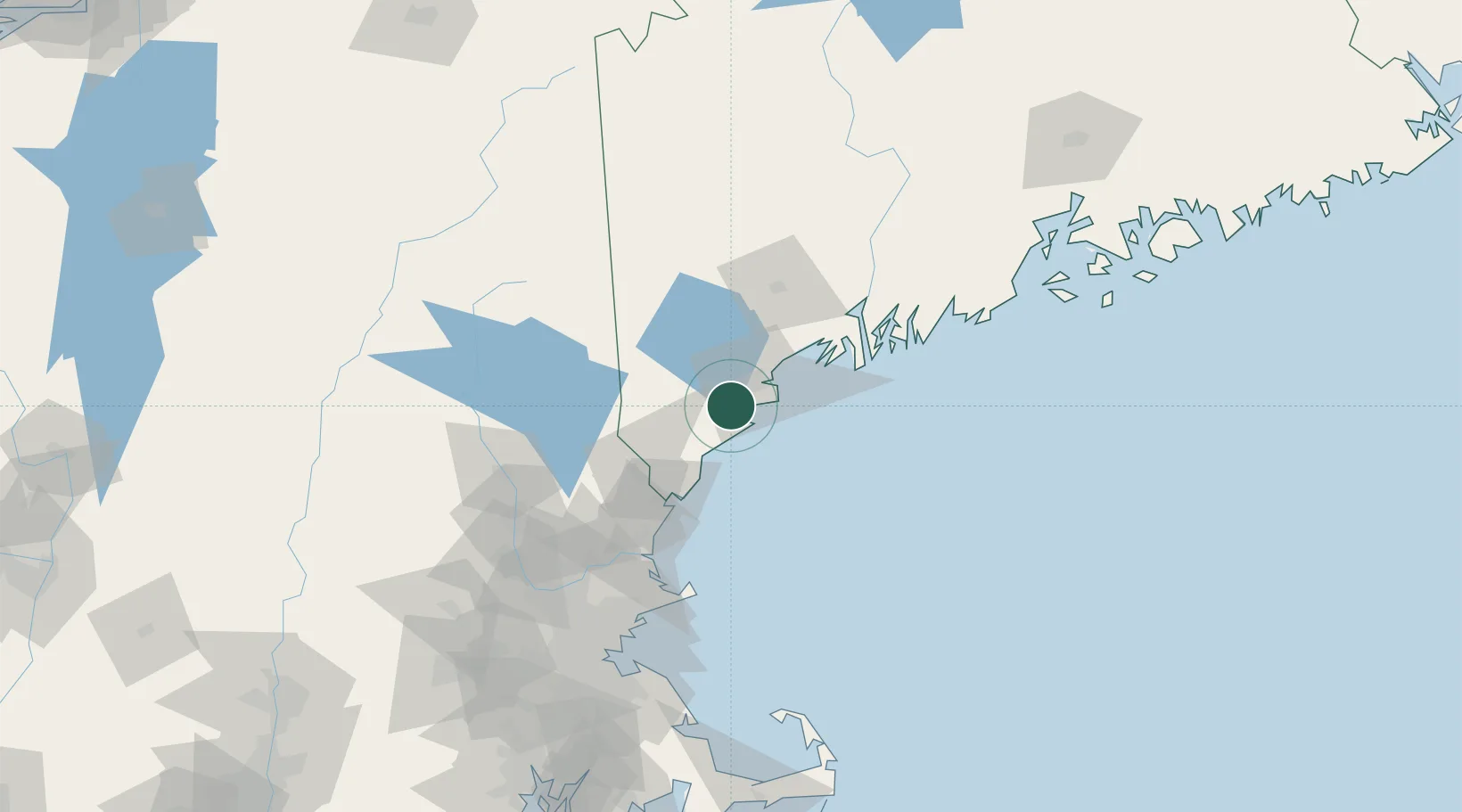
Place type
Populated place
Region
Maine
Population
19,078
Time zone
America/New_York
Elevation
20 m
Logistics facilities
1
Location
Nearby Logistics Neighbours
Cities
- 1Old Orchard Beach5 km
- 2Hollis18 km
- 3Portland19 km
- 4Alfred24 km
- 5Falmouth26 km
Ports
- 1Kennebunkport19 km
- 2Portland21 km
- 3South Harpswell40 km
- 4Portsmouth57 km
- 5Bath65 km
Airports
Trade Zones
- 1FTZ No. 081 Portsmouth63 km
- 2FTZ No. 263 Auburn65 km
- 3FTZ No. 186 Waterville126 km
- 4FTZ No. 027 Boston147 km
- 5FTZ No. 058 Bangor191 km
DatabookThe Record of Consolidated Knowledge
United States beyond logistics?