Transport Functions
Multimodal
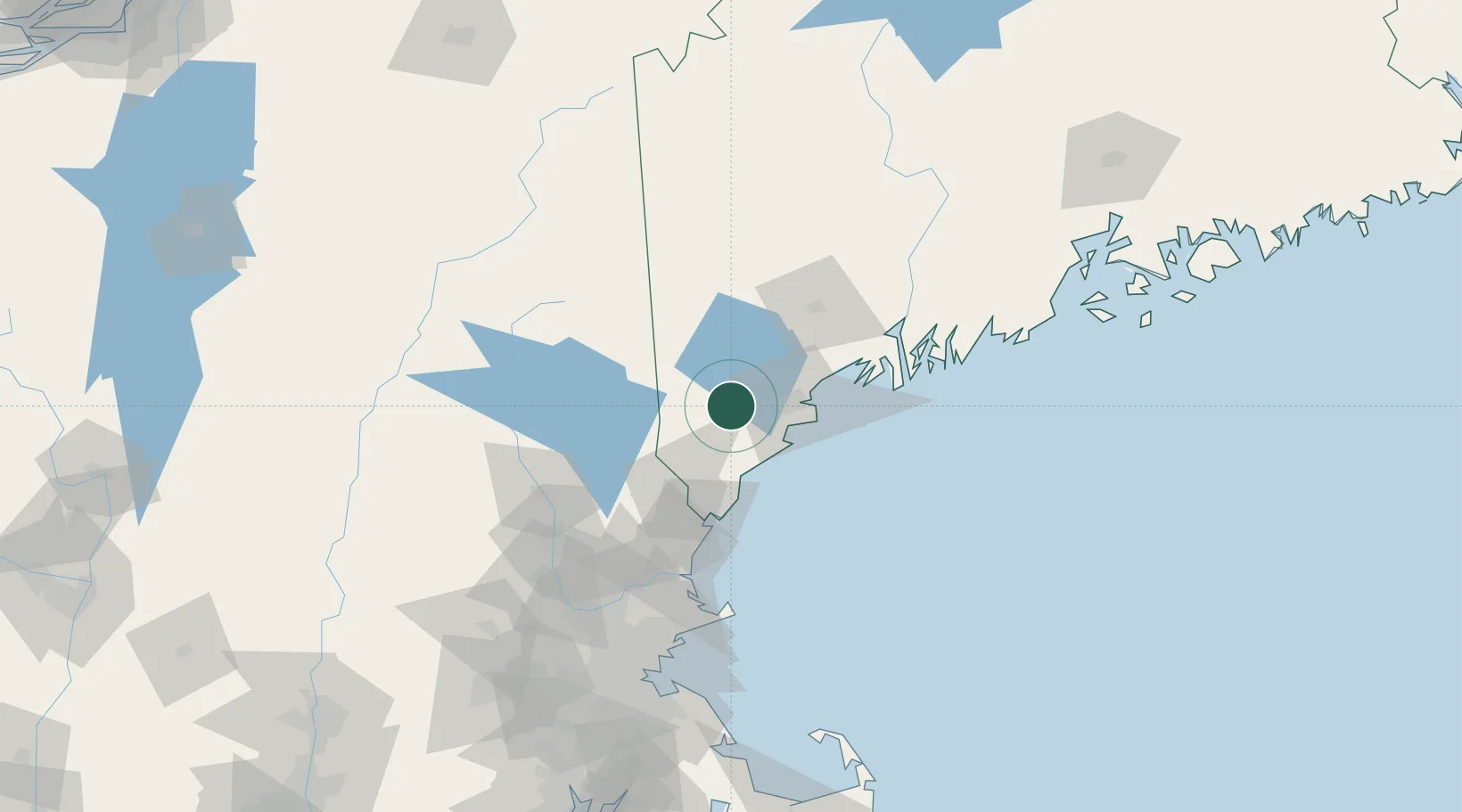
Hub Profile
Place type
Populated place
Region
New Hampshire
Population
7,711
Time zone
America/New_York
Elevation
123 m
Location
Nearby Logistics Neighbours
Cities
- 1Saco18 km
- 2Alfred19 km
- 3Old Orchard Beach23 km
- 4Springvale24 km
- 5North Falmouth27 km
Ports
- 1Saco20 km
- 2Portland30 km
- 3Kennebunkport32 km
- 4South Harpswell50 km
- 5Portsmouth62 km
Airports
Trade Zones
- 1FTZ No. 263 Auburn61 km
- 2FTZ No. 081 Portsmouth67 km
- 3FTZ No. 186 Waterville125 km
- 4FTZ No. 027 Boston152 km
- 5FTZ No. 268 Brattleboro182 km
DatabookThe Record of Consolidated Knowledge
United States beyond logistics?