Medium airport · United States
Manchester-Boston Regional AirportKMHT
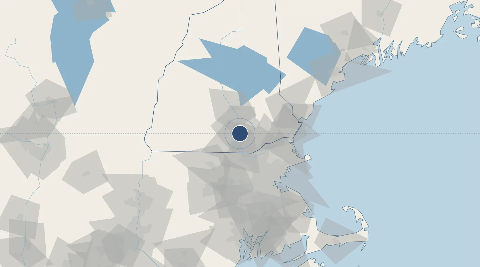
42.9326°, -71.4357°
9,250 ft
Longest runway
2
Runways
266 ft
Elevation
Runway & Layout

Radio Frequencies
ATIS
119.55 MHz
ASOS
119.55 MHz
TWR
121.3 MHz
GND
121.9 MHz
CLD
135.9 MHz
CLNC DEL
A/D
124.9 MHz
Boston Approach/Departure (Below 4000')
A/D
134.75 MHz
Boston Approach/Departure (4000'-10000')
RDO
114.4 MHz
BANGOR RDO
UNIC
122.95 MHz
UNICOM
Runways · 2
| Runway | Dimensions | Surface | True heading | Lit |
|---|---|---|---|---|
| 17/35 | 9,250 × 150ft | Asphalt | 157° | ✓ |
| 06/24 | 7,651 × 150ft | Asphalt | 042° | ✓ |
Airport Specifications
IATA code
MHT
ICAO code
KMHT
Airport class
Medium airport
Scheduled service
Yes
Runway surface
Asphalt
Served city
Manchester
Location
Nearby Logistics Neighbours
Airports
Cities
- 1New Londonderry3 km
- 2Auburn10 km
- 3Goffstown16 km
- 4Hooksett19 km
- 5Allenstown22 km
Ports
- 1Newburyport48 km
- 2Portsmouth58 km
- 3Beverly63 km
- 4Salem65 km
- 5Lynn67 km
Trade Zones
- 1FTZ No. 081 Portsmouth50 km
- 2FTZ No. 027 Boston74 km
- 3FTZ No. 268 Brattleboro95 km
- 4FTZ No. 105 Providence and North Kingstown124 km
- 5FTZ No. 201 Holyoke131 km
DatabookThe Record of Consolidated Knowledge
United States beyond logistics?