Channel & Berth Profile
Pilotage, Tugs & Services
Pilotage compulsoryYES
Tug assistanceYES
Salvage tugsYES
Potable waterYES
Diesel bunkersYES
MedicalYES
Facilities & Capabilities
Container—
Ro-Ro—
Liquid bulk—
Dry bulk—
Oil terminal—
Break bulk—
Dry dock—
RepairsNO
BunkeringYES
Rail linkYES
Dangerous cargo—
ISPS security—
Harbour Specifications
Harbour size
Small
Harbour type
River (Natural)
Shelter
Good
Water body
North Atlantic Ocean
Tidal range
2.4 m
Overhead limit
Yes
Pilotage
Yes
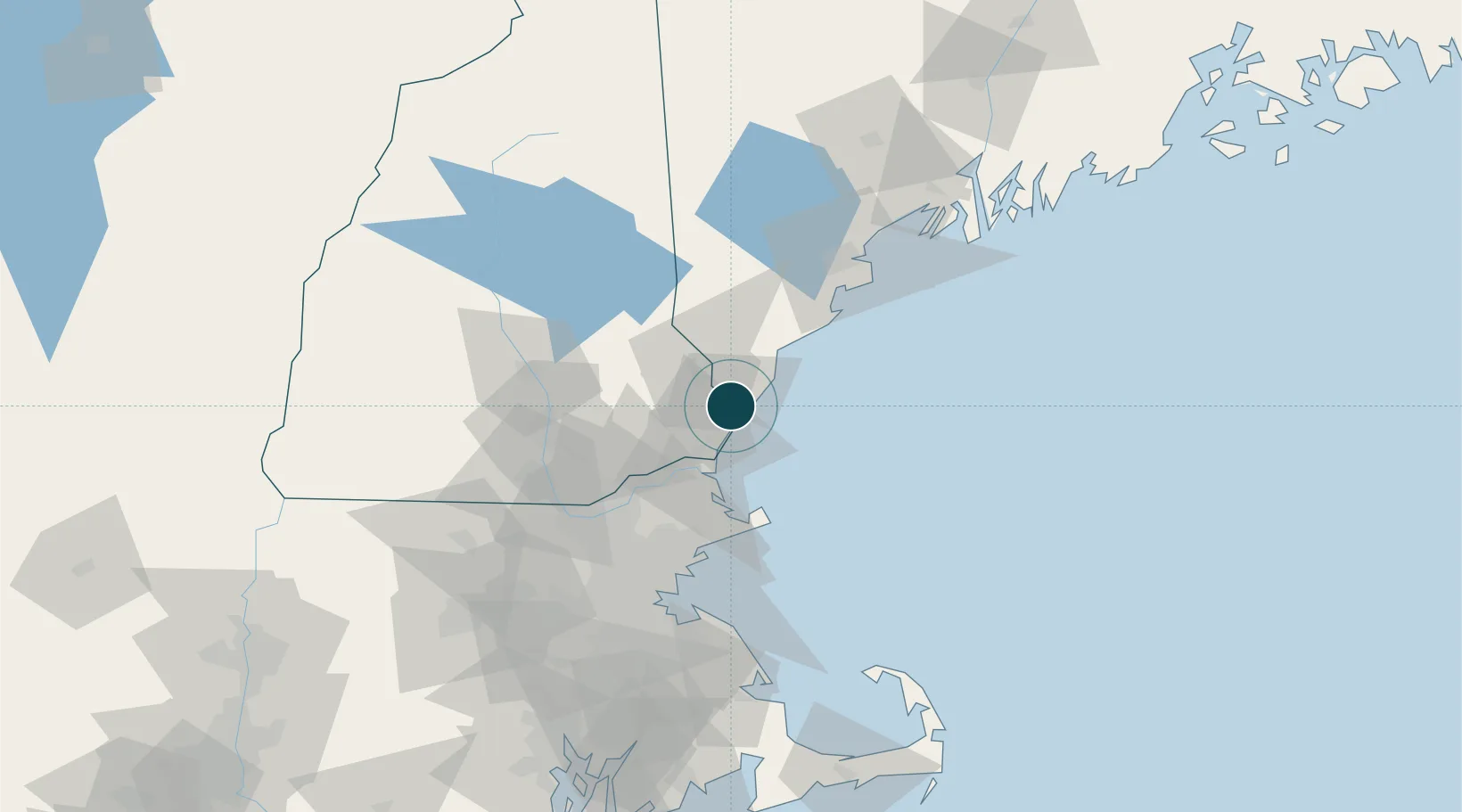
Location
Nearby Logistics Neighbours
Ports
- 1Newburyport31 km
- 2Kennebunkport39 km
- 3Rockport48 km
- 4Saco52 km
- 5Beverly62 km
Cities
- 1Kittery1 km
- 2Newington6 km
- 3York Harbor11 km
- 4Durham15 km
- 5North Hampton15 km
Airports
Trade Zones
- 1FTZ No. 081 Portsmouth8 km
- 2FTZ No. 027 Boston90 km
- 3FTZ No. 263 Auburn121 km
- 4FTZ No. 105 Providence and North Kingstown152 km
- 5FTZ No. 268 Brattleboro153 km
DatabookThe Record of Consolidated Knowledge
United States beyond logistics?