Medium airport · United States
Portsmouth International Airport at PeaseKPSM
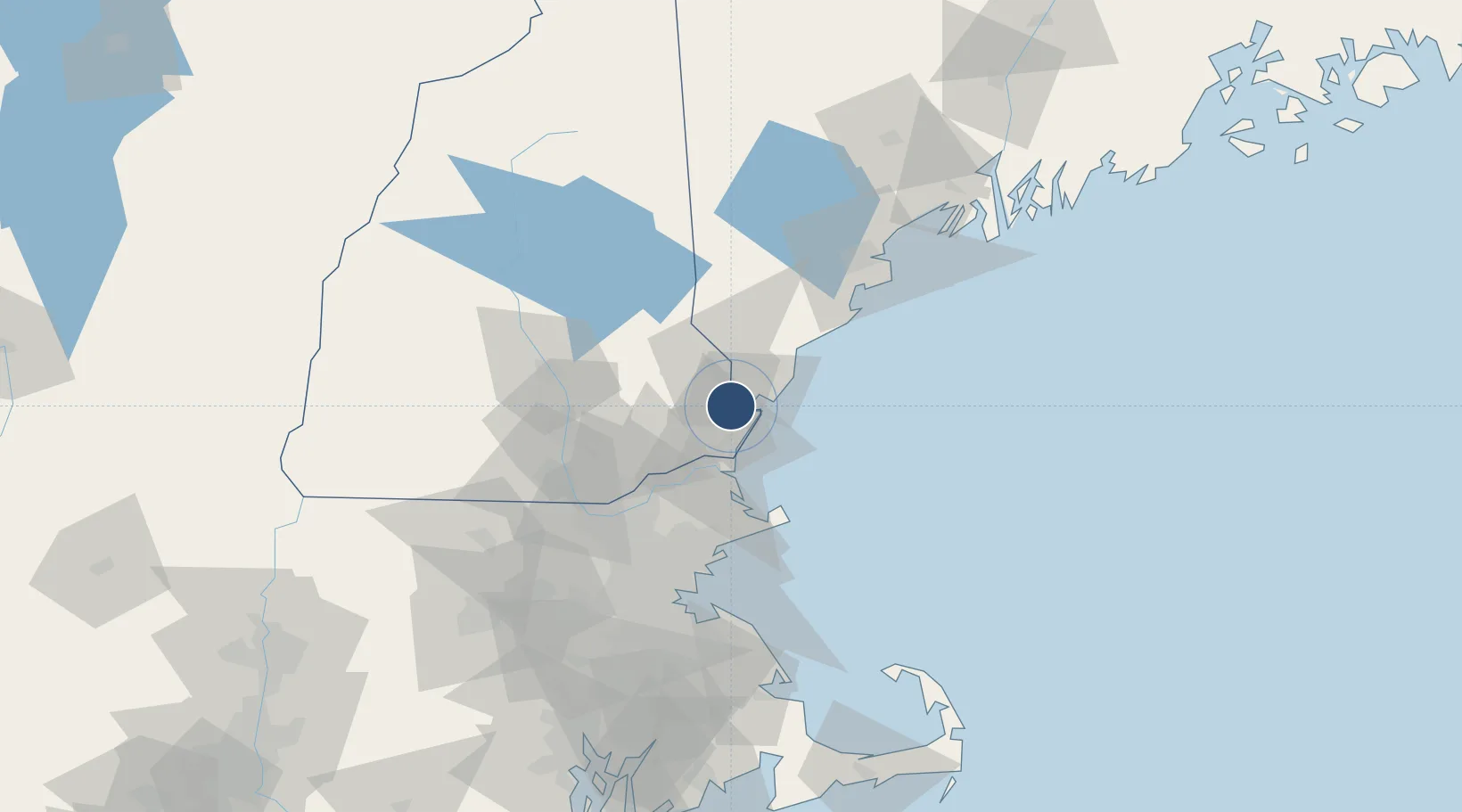
43.0779°, -70.8233°
11,321 ft
Longest runway
1
Runways
100 ft
Elevation
Runway & Layout

Radio Frequencies
ATIS
132.05 MHz
TWR
128.4 MHz
GND
120.95 MHz
CLD
33.58 MHz
CLNC DEL
APP
125.05 MHz
BOSTON APP
DEP
125.05 MHz
GCA
127.05 MHz
MISC
134.1 MHz
ARW ANG OPS
UNIC
122.95 MHz
UNICOM
Navaids
PSM VORTAC Pease 116.50 MHz
Runways · 1
| Runway | Dimensions | Surface | True heading | Lit |
|---|---|---|---|---|
| 16/34 | 11,321 × 150ft | Asphalt / concrete | 149° | ✓ |
Airport Specifications
IATA code
PSM
ICAO code
KPSM
Airport class
Medium airport
Scheduled service
Yes
Runway surface
Asphalt / concrete
Served city
Portsmouth
Location
Nearby Logistics Neighbours
Airports
Cities
- 1Newington3 km
- 2Kittery7 km
- 3Durham10 km
- 4Newfields10 km
- 5North Hampton12 km
Ports
- 1Portsmouth6 km
- 2Newburyport29 km
- 3Kennebunkport43 km
- 4Rockport49 km
- 5Saco56 km
Trade Zones
- 1FTZ No. 081 Portsmouth3 km
- 2FTZ No. 027 Boston88 km
- 3FTZ No. 263 Auburn124 km
- 4FTZ No. 268 Brattleboro147 km
- 5FTZ No. 105 Providence and North Kingstown150 km
DatabookThe Record of Consolidated Knowledge
United States beyond logistics?