Seaport · United States

PetersburgUSPSG

56.8167°, -132.9500°
6.4 m
Channel depth

Channel & Berth Profile

SEA LEVEL (CD)CHANNEL BEDChannel · 6.4 mAnchorage · 6.4 mCargo pier · 6.4 mOil terminal · 6.4 m
NGA World Port Index

Pilotage, Tugs & Services

Pilotage availableYES
Tug assistanceYES
Shore powerYES
Potable waterYES
Diesel bunkersYES
MedicalYES
Garbage disposalYES
NGA World Port Index

Facilities & Capabilities

Container
Ro-Ro
Liquid bulk
Dry bulk
Oil terminal
Break bulk
Dry dock
RepairsNO
BunkeringYES
Rail link
Dangerous cargo
ISPS security
NGA World Port Index

Harbour Specifications

Harbour size
Small
NGA World Port Index
Harbour type
Coastal (Natural)
NGA World Port Index
Shelter
Good
NGA World Port Index
Water body
Alaska-Canada coastal waters; North Pacific Ocean
NGA World Port Index
Tidal range
4.3 m
NGA World Port Index

Location

Location of USPSG
Natural Earth 10m (public domain) · British Columbia · USPSG · 56.82, -132.95GoogleOSMYandex

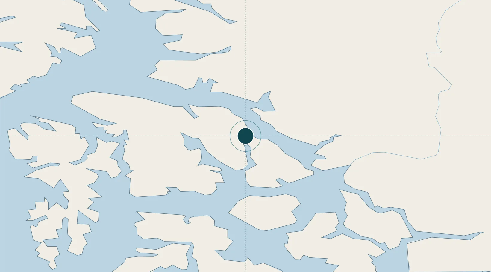
Nearby Logistics Neighbours

Ports
  1. 1Wrangell52 km
  2. 2Kake62 km
  3. 3Washington Bay86 km
  4. 4Little Port Walter114 km
  5. 5Big Port Walter119 km
Nearest neighbours — logibook spatial index (haversine) over the source coordinates
Cities
  1. 1Tyee101 km
  2. 2Neets Bay142 km
  3. 3Ward Cove175 km
  4. 4Ketchikan181 km
  5. 5Juneau189 km
Nearest neighbours — logibook spatial index (haversine) over the source coordinates
Airports
  1. 1Petersburg James A Johnson Airport2 km
  2. 2Wrangell Airport51 km
  3. 3Kake Airport61 km
  4. 4Kake Seaplane Base63 km
  5. 5Point Baker Seaplane Base66 km
Nearest neighbours — logibook spatial index (haversine) over the source coordinates
Trade Zones
  1. 1PrInce George Logistics Park720 km
  2. 2FTZ No. 108 Valdez904 km
  3. 3FTZ Vancouver Island1066 km
  4. 4FTZ No. 128 Whatcom County1129 km
  5. 5FTZ No. 129 Bellingham1135 km
Nearest neighbours — logibook spatial index (haversine) over the source coordinates
DatabookThe Record of Consolidated Knowledge
United States beyond logistics?
Browse databook

All Sources

Portsthe NGA World Port Index
Public domain (US gov)
AirportsOurAirports
Public domain
LocationsUN/LOCODE
UN/LOCODE — free
Trade Zonesthe World Bank SEZ database
CC BY 4.0
Trade ZonesOpen Zone Map
CC BY
← United States ports