Medium airport · United States

Wrangell AirportPAWG

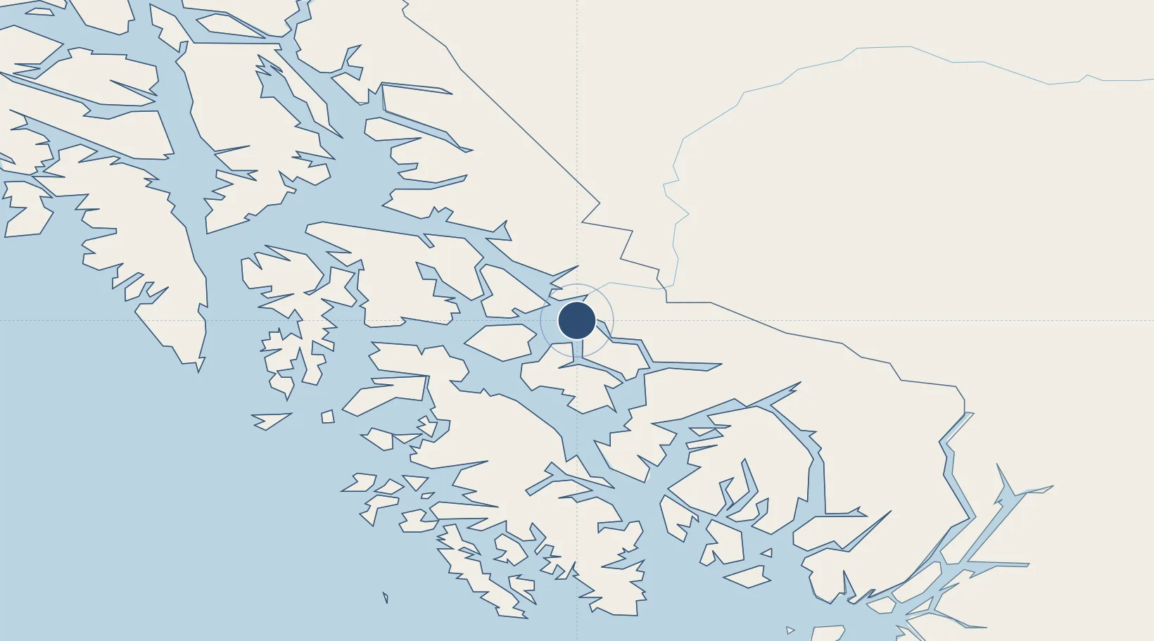
56.4843°, -132.3700°
6,000 ft
Longest runway
1
Runways
49 ft
Elevation

Runway & Layout

Wrangell Airport runway & taxiway layout
Runway & taxiway layout — OpenStreetMap (ODbL) / OurAirports

Radio Frequencies

AWOS
128.5 MHz
AWOS 3
CTAF
122.6 MHz
CNTR
118 MHz
ANCHORAGE CNTR
FSS
122.45 MHz
SITKA RDO
OurAirports

Navaids

LVD VOR-DME Level Island 116.50 MHz
OurAirports

Runways · 1

RunwayDimensions SurfaceTrue headingLit
10/28 6,000 × 150ft Asphalt 121°
OurAirports

Airport Specifications

IATA code
WRG
OurAirports
ICAO code
PAWG
OurAirports
Airport class
Medium airport
OurAirports
Scheduled service
Yes
OurAirports
Runway surface
Asphalt
OurAirports
Served city
Wrangell
OurAirports

Location

Location of PAWG
Natural Earth 10m (public domain) · Alaska · PAWG · 56.48, -132.37GoogleOSMYandex

Nearby Logistics Neighbours

Airports
  1. 1Petersburg James A Johnson Airport50 km
  2. 2Coffman Cove Seaplane Base60 km
  3. 3Whale Pass Seaplane Float Harbor Facility62 km
  4. 4Port Protection Seaplane Base78 km
  5. 5Point Baker Seaplane Base79 km
Nearest neighbours — logibook spatial index (haversine) over the source coordinates
Cities
  1. 1Neets Bay91 km
  2. 2Ward Cove127 km
  3. 3Ketchikan133 km
  4. 4Tyee147 km
  5. 5Metlakatla159 km
Nearest neighbours — logibook spatial index (haversine) over the source coordinates
Ports
  1. 1Wrangell2 km
  2. 2Petersburg51 km
  3. 3Kasaan106 km
  4. 4Loring109 km
  5. 5Kake109 km
Nearest neighbours — logibook spatial index (haversine) over the source coordinates
Trade Zones
  1. 1PrInce George Logistics Park673 km
  2. 2FTZ No. 108 Valdez954 km
  3. 3FTZ Vancouver Island1015 km
  4. 4FTZ No. 128 Whatcom County1078 km
  5. 5FTZ No. 129 Bellingham1084 km
Nearest neighbours — logibook spatial index (haversine) over the source coordinates
DatabookThe Record of Consolidated Knowledge
United States beyond logistics?
Browse databook

All Sources

AirportsOurAirports
Public domain
Portsthe NGA World Port Index
Public domain (US gov)
LocationsUN/LOCODE
UN/LOCODE — free
Trade Zonesthe World Bank SEZ database
CC BY 4.0
Trade ZonesOpen Zone Map
CC BY
InfrastructureOpenStreetMap
ODbL 1.0
← United States airports