Seaplane base · United States

Kake Seaplane BaseKAE

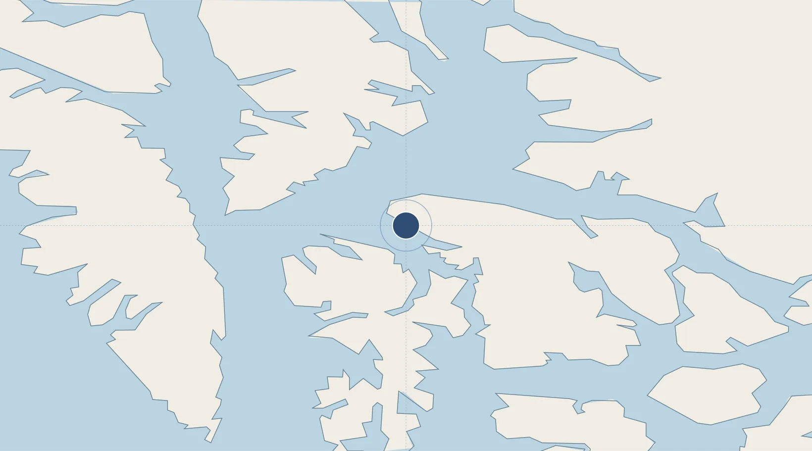
56.9730°, -133.9460°
10,000 ft
Longest runway
1
Runways

Runway & Layout

Kake Seaplane Base runway & taxiway layout
Runway & taxiway layout — OpenStreetMap (ODbL) / OurAirports

Runways · 1

RunwayDimensions SurfaceTrue headingLit
NW/SE 10,000 × 4000ft WATER-E
OurAirports

Airport Specifications

IATA code
KAE
OurAirports
Airport class
Seaplane base
OurAirports
Scheduled service
Yes
OurAirports
Runway surface
WATER-E
OurAirports
Served city
Kake
OurAirports

Location

Location of KAE
Natural Earth 10m (public domain) · British Columbia · KAE · 56.97, -133.95GoogleOSMYandex

Nearby Logistics Neighbours

Airports
  1. 1Kake Airport3 km
  2. 2Petersburg James A Johnson Airport64 km
  3. 3Angoon Seaplane Base69 km
  4. 4Point Baker Seaplane Base72 km
  5. 5Port Protection Seaplane Base75 km
Nearest neighbours — logibook spatial index (haversine) over the source coordinates
Cities
  1. 1Tyee38 km
  2. 2Juneau152 km
  3. 3Pleasant Island183 km
  4. 4Neets Bay196 km
  5. 5Ward Cove223 km
Nearest neighbours — logibook spatial index (haversine) over the source coordinates
Ports
  1. 1Kake1 km
  2. 2Washington Bay36 km
  3. 3Petersburg63 km
  4. 4Little Port Walter78 km
  5. 5Big Port Walter81 km
Nearest neighbours — logibook spatial index (haversine) over the source coordinates
Trade Zones
  1. 1PrInce George Logistics Park782 km
  2. 2FTZ No. 108 Valdez845 km
  3. 3FTZ Vancouver Island1120 km
  4. 4FTZ No. 195 Fairbanks1144 km
  5. 5FTZ No. 128 Whatcom County1183 km
Nearest neighbours — logibook spatial index (haversine) over the source coordinates
DatabookThe Record of Consolidated Knowledge
United States beyond logistics?
Browse databook

All Sources

AirportsOurAirports
Public domain
Portsthe NGA World Port Index
Public domain (US gov)
LocationsUN/LOCODE
UN/LOCODE — free
Trade Zonesthe World Bank SEZ database
CC BY 4.0
Trade ZonesOpen Zone Map
CC BY
InfrastructureOpenStreetMap
ODbL 1.0
← United States airports