Seaplane base · United States

Point Baker Seaplane BaseKPB

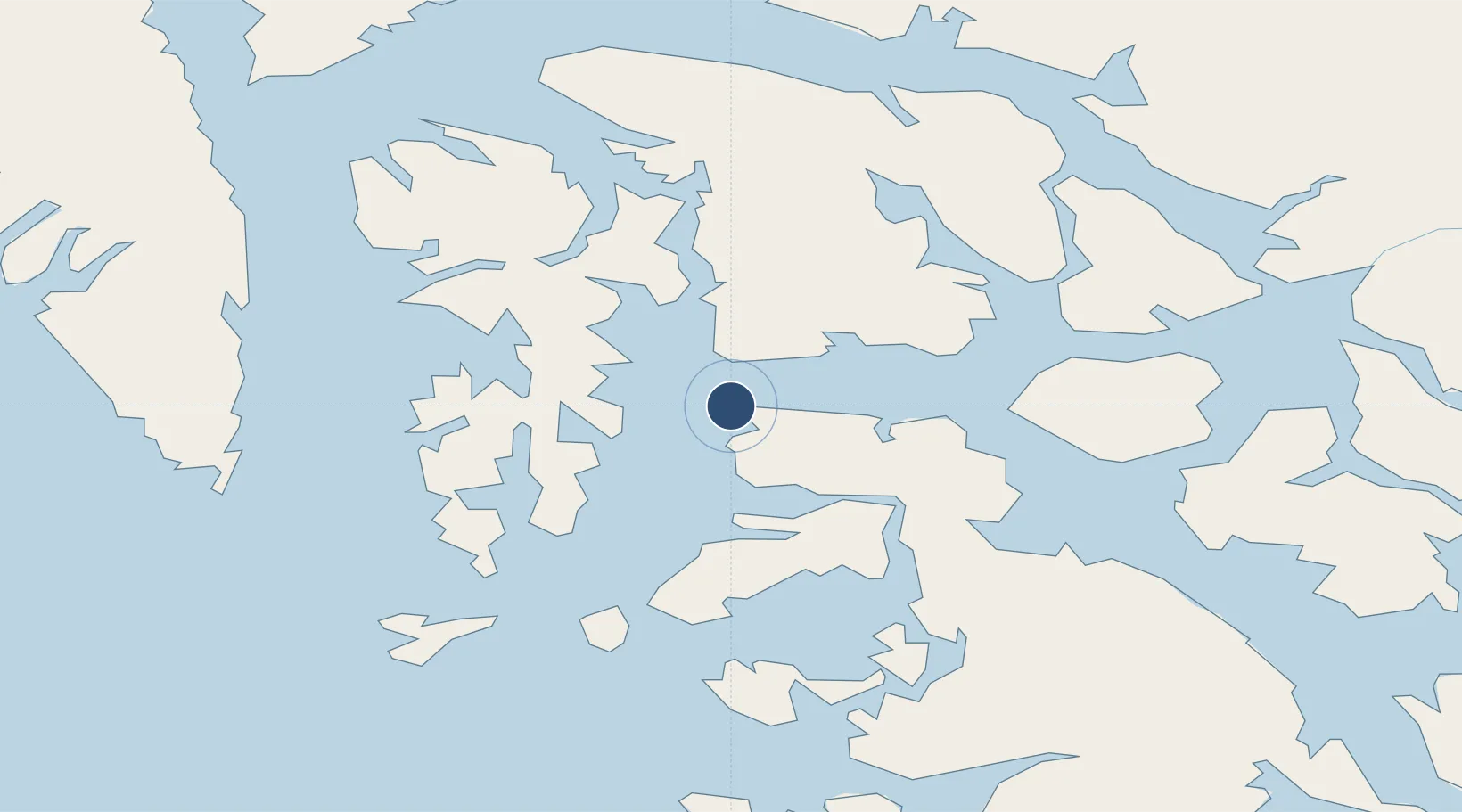
56.3519°, -133.6230°
4,000 ft
Longest runway
1
Runways

Runway & Layout

Runways · 1

RunwayDimensions SurfaceTrue headingLit
N/S 4,000 × 250ft Water
OurAirports

Airport Specifications

IATA code
KPB
OurAirports
ICAO code
KPB
OurAirports
Airport class
Seaplane base
OurAirports
Scheduled service
Yes
OurAirports
Runway surface
Water
OurAirports
Served city
Point Baker
OurAirports

Location

Location of KPB
Natural Earth 10m (public domain) · British Columbia · KPB · 56.35, -133.62GoogleOSMYandex

Nearby Logistics Neighbours

Airports
  1. 1Port Protection Seaplane Base3 km
  2. 2Whale Pass Seaplane Float Harbor Facility41 km
  3. 3Edna Bay Seaplane Base45 km
  4. 4Naukati Bay Seaplane Base61 km
  5. 5Coffman Cove Seaplane Base62 km
Nearest neighbours — logibook spatial index (haversine) over the source coordinates
Cities
  1. 1Tyee96 km
  2. 2Neets Bay141 km
  3. 3Ward Cove159 km
  4. 4Ketchikan165 km
  5. 5Metlakatla187 km
Nearest neighbours — logibook spatial index (haversine) over the source coordinates
Ports
  1. 1Washington Bay62 km
  2. 2Little Port Walter62 km
  3. 3Port Alexander64 km
  4. 4Port Armstrong65 km
  5. 5Petersburg66 km
Nearest neighbours — logibook spatial index (haversine) over the source coordinates
Trade Zones
  1. 1PrInce George Logistics Park741 km
  2. 2FTZ No. 108 Valdez905 km
  3. 3FTZ Vancouver Island1058 km
  4. 4FTZ No. 128 Whatcom County1121 km
  5. 5FTZ No. 129 Bellingham1127 km
Nearest neighbours — logibook spatial index (haversine) over the source coordinates
DatabookThe Record of Consolidated Knowledge
United States beyond logistics?
Browse databook

All Sources

AirportsOurAirports
Public domain
Portsthe NGA World Port Index
Public domain (US gov)
LocationsUN/LOCODE
UN/LOCODE — free
Trade Zonesthe World Bank SEZ database
CC BY 4.0
Trade ZonesOpen Zone Map
CC BY
← United States airports