Transport Functions
Port
Road
Hub Profile
Region
AK
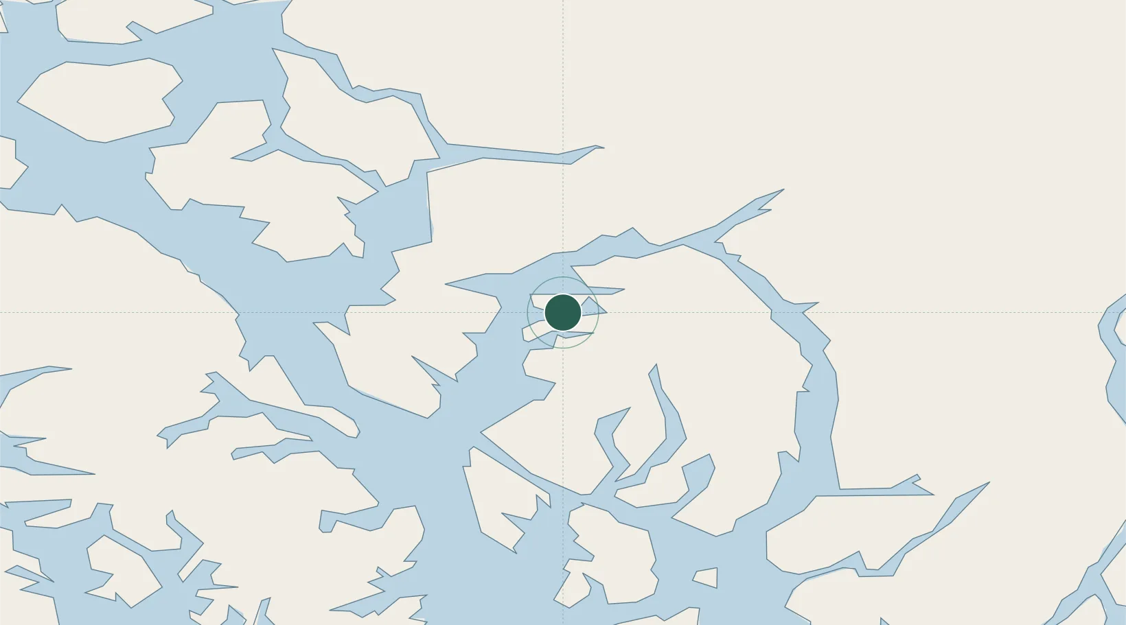
Location
Nearby Logistics Neighbours
Cities
- 1Ward Cove43 km
- 2Ketchikan48 km
- 3Metlakatla73 km
- 4Prince Rupert184 km
- 5Tyee230 km
Ports
- 1Loring21 km
- 2Ward Cove43 km
- 3Ketchikan50 km
- 4Kasaan57 km
- 5Metlakatla72 km
Airports
Trade Zones
- 1PrInce George Logistics Park603 km
- 2FTZ Vancouver Island925 km
- 3FTZ No. 128 Whatcom County988 km
- 4FTZ No. 129 Bellingham994 km
- 5FTZ No. 085 Everett1077 km
DatabookThe Record of Consolidated Knowledge
United States beyond logistics?