Channel & Berth Profile
Pilotage, Tugs & Services
Pilotage availableYES
Local assistanceYES
Tug assistanceYES
Shore powerYES
Potable waterYES
Diesel bunkersNO
MedicalYES
Garbage disposalYES
Facilities & Capabilities
Container—
Ro-Ro—
Liquid bulk—
Dry bulk—
Oil terminal—
Break bulk—
Dry dock—
Repairs—
BunkeringNO
Rail link—
Dangerous cargo—
ISPS security—
Harbour Specifications
Harbour size
Small
Harbour type
Coastal (Natural)
Shelter
Good
Water body
Alaska-Canada coastal waters; North Pacific Ocean
Tidal range
4.3 m
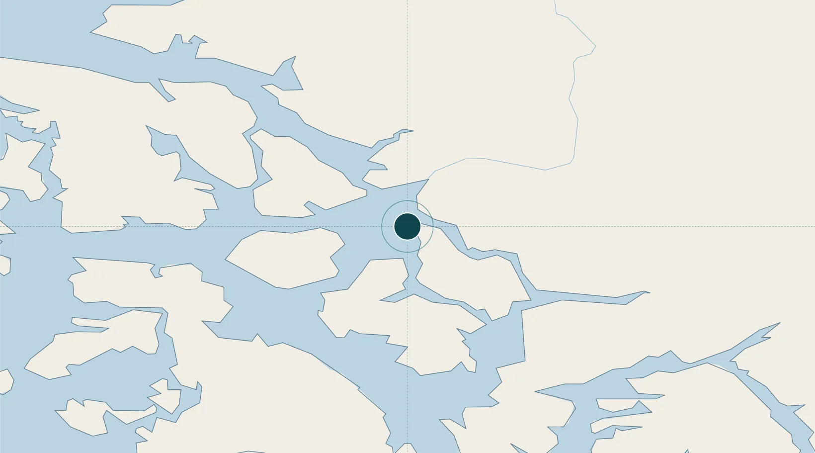
Location
Nearby Logistics Neighbours
Ports
- 1Petersburg52 km
- 2Kasaan104 km
- 3Loring107 km
- 4Kake110 km
- 5Klawock111 km
Cities
- 1Neets Bay90 km
- 2Ward Cove126 km
- 3Ketchikan132 km
- 4Tyee147 km
- 5Metlakatla157 km
Airports
Trade Zones
- 1PrInce George Logistics Park673 km
- 2FTZ No. 108 Valdez955 km
- 3FTZ Vancouver Island1014 km
- 4FTZ No. 128 Whatcom County1077 km
- 5FTZ No. 129 Bellingham1083 km
DatabookThe Record of Consolidated Knowledge
United States beyond logistics?