Channel & Berth Profile
Pilotage, Tugs & Services
Pilotage availableYES
Potable waterYES
Facilities & Capabilities
Container—
Ro-Ro—
Liquid bulk—
Dry bulk—
Oil terminal—
Break bulk—
Dry dock—
Repairs—
Bunkering—
Rail link—
Dangerous cargo—
ISPS security—
Harbour Specifications
Harbour size
Very Small
Harbour type
Coastal (Natural)
Shelter
Good
Water body
Alaska-Canada coastal waters; North Pacific Ocean
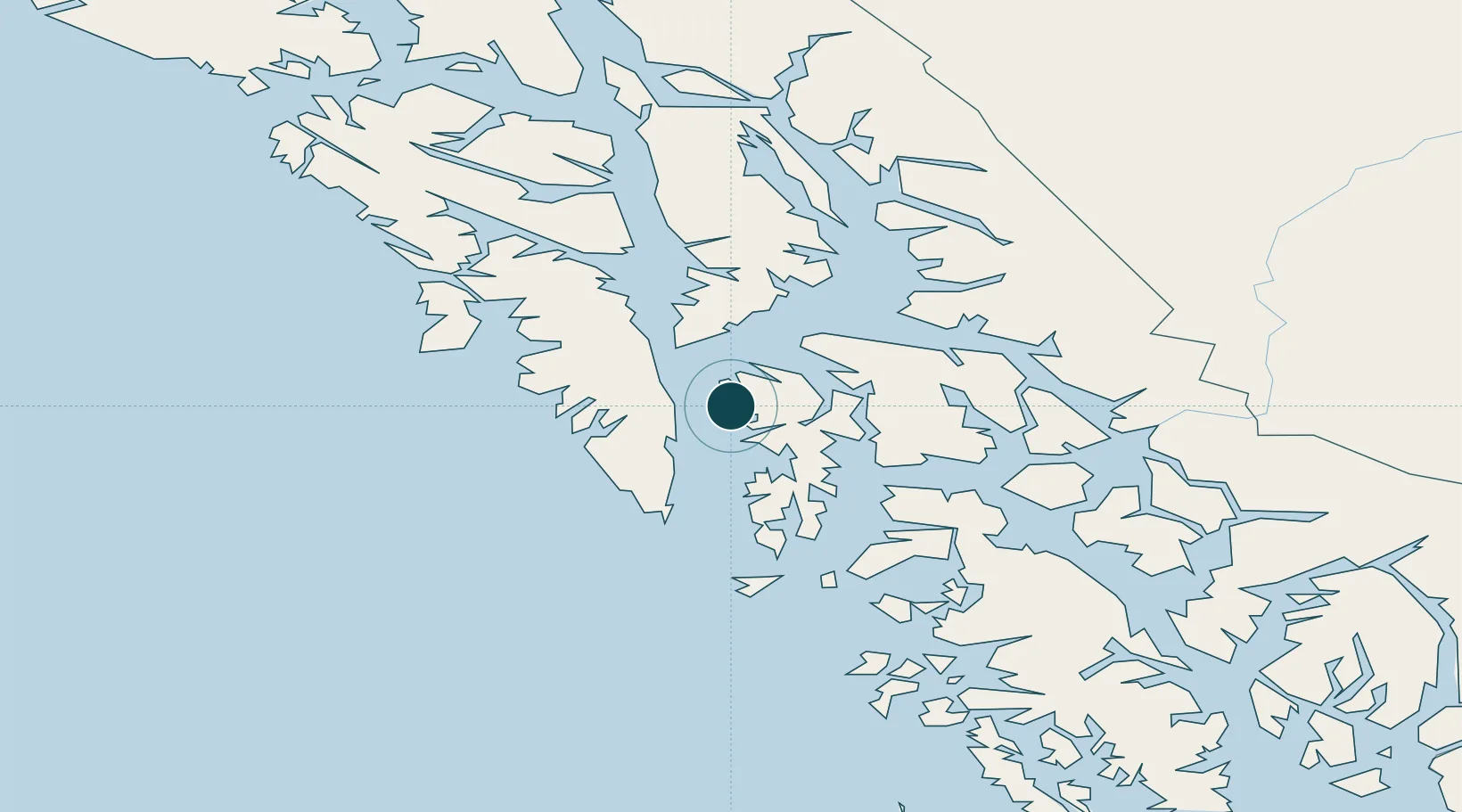
Location
Nearby Logistics Neighbours
Ports
- 1Kake36 km
- 2Little Port Walter43 km
- 3Big Port Walter46 km
- 4Port Armstrong52 km
- 5Port Alexander57 km
Cities
- 1Tyee37 km
- 2Juneau176 km
- 3Pleasant Island195 km
- 4Neets Bay200 km
- 5Ward Cove221 km
Airports
- 1Kake Seaplane Base36 km
- 2Kake Airport37 km
- 3Port Alexander Seaplane Base57 km
- 4Point Baker Seaplane Base62 km
- 5Port Protection Seaplane Base64 km
Trade Zones
- 1PrInce George Logistics Park797 km
- 2FTZ No. 108 Valdez843 km
- 3FTZ Vancouver Island1119 km
- 4FTZ No. 195 Fairbanks1153 km
- 5FTZ No. 128 Whatcom County1182 km
DatabookThe Record of Consolidated Knowledge
United States beyond logistics?