Foreign Trade Zone · Canada
PrInce George Logistics Park Active
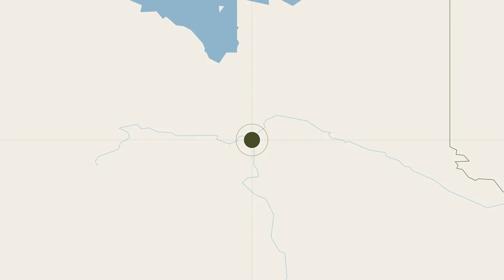
53.9169°, -122.7494°
283 ha
Zone area
320.4 km
Nearest port
6.5 km
Nearest airport
Gateway access
Zone profile
Zone type
Foreign Trade Zone
Region
British Columbia
Status
Active
Management
Private
Operator
PrInce George Global Logistics Park, LTD.
Legal framework
Foreign Trade Zone Act of 1934
Location
Nearby Logistics Neighbours
Ports
- 1Bella Coola320 km
- 2Duncan Bay462 km
- 3Alert Bay467 km
- 4Port Mcneill474 km
- 5Port Mellon492 km
Airports
- 1Prince George (International) Airport7 km
- 2Quesnel Airport100 km
- 3Mackenzie Airport156 km
- 4Williams Lake Airport198 km
- 5Chetwynd Airport210 km
Cities
- 1Prince George1 km
- 2Vanderhoof84 km
- 3Endako149 km
- 4Horsefly197 km
- 5Hythe259 km
Trade Zones
- 1FTZ Vancouver Island520 km
- 2FTZ No. 128 Whatcom County568 km
- 3FTZ No. 129 Bellingham574 km
- 4FTZ No. 085 Everett659 km
- 5Calgary Region Inland Port668 km
DatabookThe Record of Consolidated Knowledge
Canada beyond logistics?