UN/LOCODE hub · United States
USJNU

Juneau

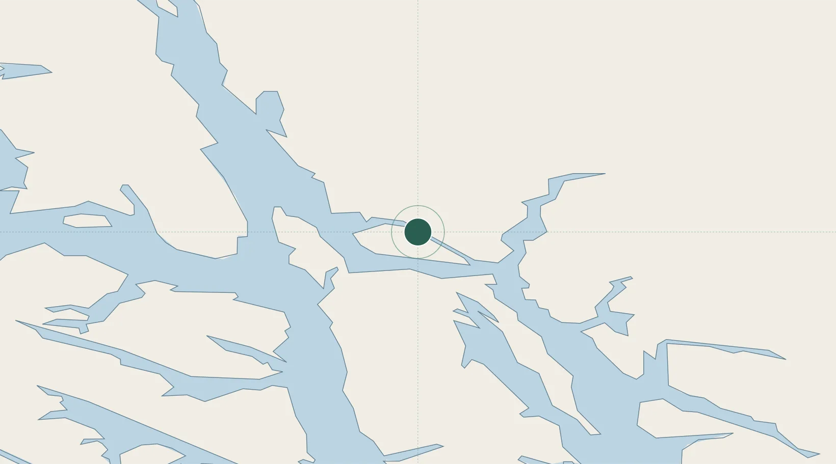
58.3149°, -134.4453°
31,555
Population
2
Transport functions

Transport Functions

Port
Airport
Juneau is also a profiled seaport →
UN/LOCODE

Hub Profile

Place type
Regional capital
GeoNames
Region
Alaska
GeoNames
Population
31,555
GeoNames
Time zone
America/Juneau
GeoNames
Elevation
17 m
GeoNames
Logistics facilities
3
UN/LOCODE

Location

Location of USJNU
Natural Earth 10m (public domain) · Alaska · USJNU · 58.31, -134.45GoogleOSMYandex

Nearby Logistics Neighbours

Cities
  1. 1Pleasant Island70 km
  2. 2Tyee141 km
  3. 3Neets Bay330 km
  4. 4Ward Cove364 km
  5. 5Ketchikan370 km
Nearest neighbours — logibook spatial index (haversine) over the source coordinates
Ports
  1. 1Dupont14 km
  2. 2Funter28 km
  3. 3Hawk Inlet28 km
  4. 4Excursion Inlet60 km
  5. 5Hoonah63 km
Nearest neighbours — logibook spatial index (haversine) over the source coordinates
Airports
  1. 1Juneau International Airport9 km
  2. 2Funter Bay Seaplane Base27 km
  3. 3Point Retreat CG Light Station Helipad32 km
  4. 4Excursion Inlet Seaplane Base60 km
  5. 5Hoonah Airport62 km
Nearest neighbours — logibook spatial index (haversine) over the source coordinates
Trade Zones
  1. 1FTZ No. 108 Valdez736 km
  2. 2PrInce George Logistics Park873 km
  3. 3FTZ No. 160 Anchorage921 km
  4. 4FTZ No. 195 Fairbanks1006 km
  5. 5FTZ Vancouver Island1250 km
Nearest neighbours — logibook spatial index (haversine) over the source coordinates
DatabookThe Record of Consolidated Knowledge
United States beyond logistics?
Browse databook

All Sources

LocationsUN/LOCODE
UN/LOCODE — free
LocationsGeoNames
CC BY 4.0
Portsthe NGA World Port Index
Public domain (US gov)
AirportsOurAirports
Public domain
Trade Zonesthe World Bank SEZ database
CC BY 4.0
Trade ZonesOpen Zone Map
CC BY
← United States locations