UN/LOCODE hub · United States
USKTN
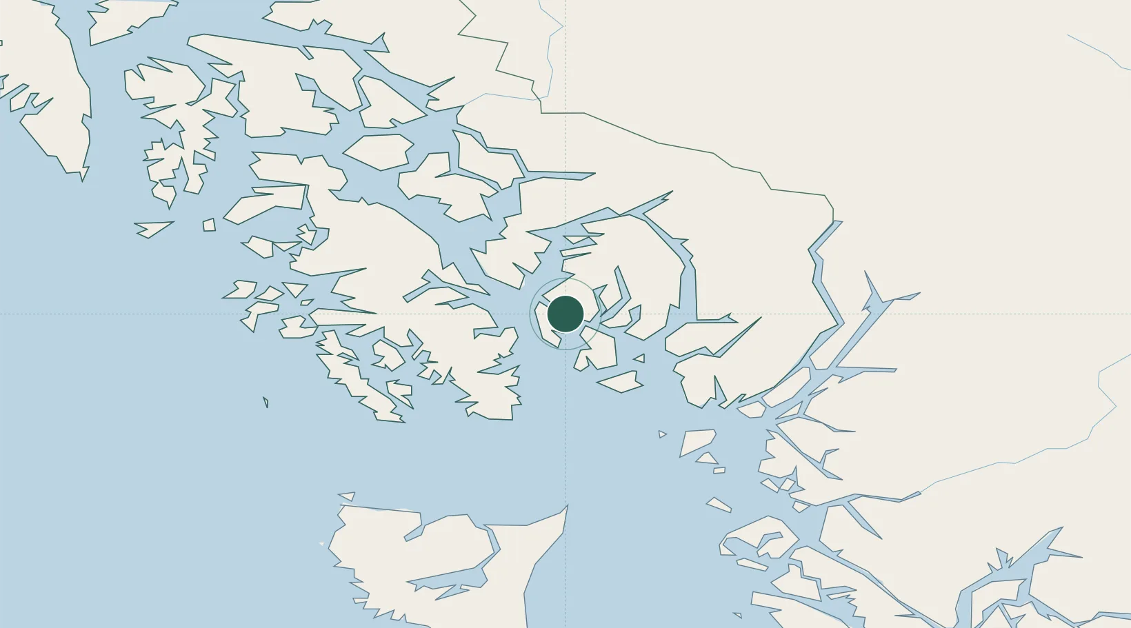
Ketchikan
55.3499°, -131.6758°
8,197
Population
2
Transport functions
Transport Functions
Port
Airport
Hub Profile
Place type
Provincial seat
Region
Alaska
Population
8,197
Time zone
America/Sitka
Elevation
8 m
Logistics facilities
3
Location
Nearby Logistics Neighbours
Cities
- 1Ward Cove6 km
- 2Metlakatla26 km
- 3Neets Bay48 km
- 4Prince Rupert145 km
- 5Queen Charlotte235 km
Ports
- 1Ward Cove7 km
- 2Metlakatla25 km
- 3Loring28 km
- 4Kasaan50 km
- 5Hydaburg75 km
Airports
Trade Zones
- 1PrInce George Logistics Park596 km
- 2FTZ Vancouver Island893 km
- 3FTZ No. 128 Whatcom County956 km
- 4FTZ No. 129 Bellingham962 km
- 5FTZ No. 173 Grays Harbor1042 km
DatabookThe Record of Consolidated Knowledge
United States beyond logistics?