Medium airport · United States
Petersburg James A Johnson AirportPAPG
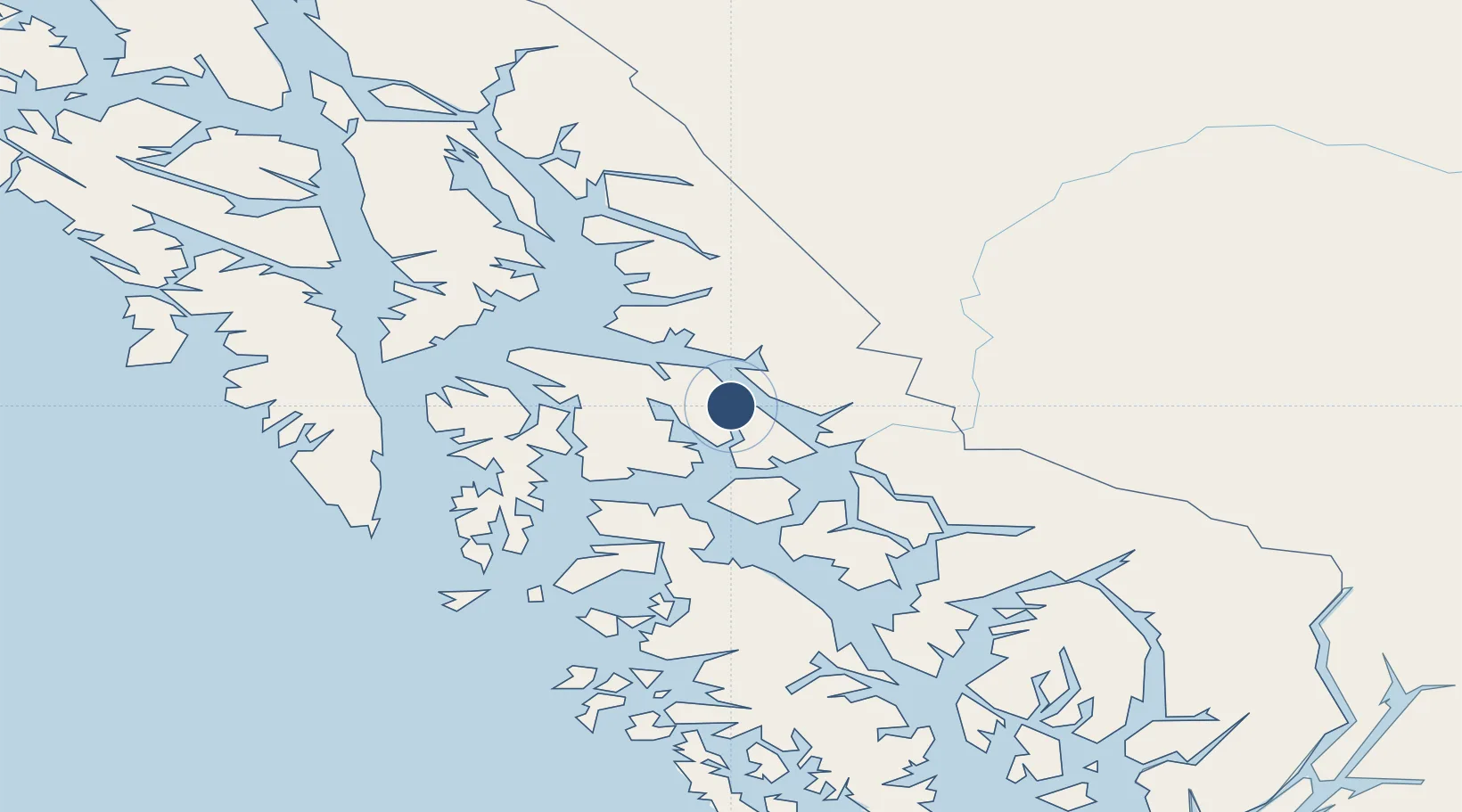
56.8017°, -132.9450°
6,400 ft
Longest runway
1
Runways
111 ft
Elevation
Runway & Layout

Radio Frequencies
AWOS
125.8 MHz
AWOS 3
CTAF
122.5 MHz
CNTR
118 MHz
ANCHORAGE CNTR
FSS
122.35 MHz
SITKA RDO
Navaids
FPN NDB Fredericks Point 372 kHz
Runways · 1
| Runway | Dimensions | Surface | True heading | Lit |
|---|---|---|---|---|
| 05/23 | 6,400 × 150ft | Asphalt | 071° | ✓ |
Airport Specifications
IATA code
PSG
ICAO code
PAPG
Airport class
Medium airport
Scheduled service
Yes
Runway surface
Asphalt
Served city
Petersburg
Location
Nearby Logistics Neighbours
Airports
- 1Wrangell Airport50 km
- 2Kake Airport61 km
- 3Kake Seaplane Base64 km
- 4Point Baker Seaplane Base65 km
- 5Port Protection Seaplane Base67 km
Ports
- 1Petersburg2 km
- 2Wrangell51 km
- 3Kake63 km
- 4Washington Bay86 km
- 5Little Port Walter113 km
Trade Zones
- 1PrInce George Logistics Park719 km
- 2FTZ No. 108 Valdez905 km
- 3FTZ Vancouver Island1065 km
- 4FTZ No. 128 Whatcom County1128 km
- 5FTZ No. 129 Bellingham1134 km
DatabookThe Record of Consolidated Knowledge
United States beyond logistics?