Medium airport · United States
Kake AirportPAFE
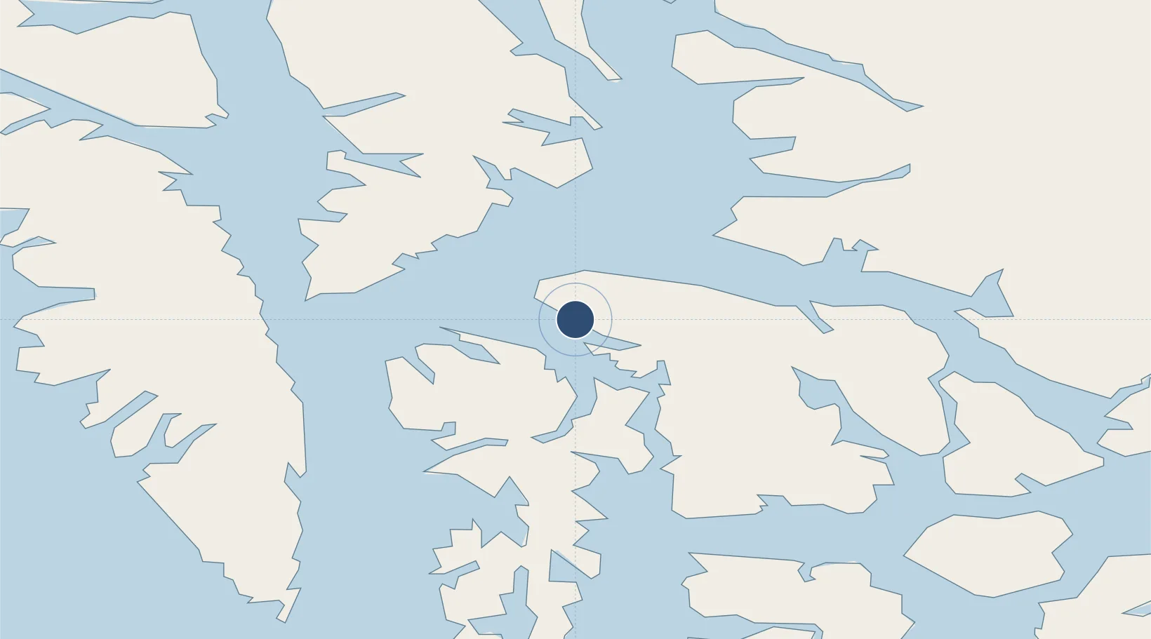
56.9613°, -133.9102°
4,000 ft
Longest runway
1
Runways
172 ft
Elevation
Runway & Layout

Radio Frequencies
AWOS
135.25 MHz
AWOS 3
CTAF
122.9 MHz
CNTR
118 MHz
ANCHORAGE CNTR
FSS
121.3 MHz
SITKA RDO
Navaids
AFE NDB-DME Kake 0.22 MHz
Runways · 1
| Runway | Dimensions | Surface | True heading | Lit |
|---|---|---|---|---|
| 11/29 | 4,000 × 100ft | ASPH-G | 130° | — |
Airport Specifications
ICAO code
PAFE
Airport class
Medium airport
Scheduled service
No
Runway surface
ASPH-G
Served city
Kake
Location
Nearby Logistics Neighbours
Airports
Cities
- 1Tyee40 km
- 2Juneau154 km
- 3Pleasant Island185 km
- 4Neets Bay193 km
- 5Ward Cove220 km
Ports
- 1Kake2 km
- 2Washington Bay37 km
- 3Petersburg61 km
- 4Little Port Walter78 km
- 5Big Port Walter82 km
Trade Zones
- 1PrInce George Logistics Park780 km
- 2FTZ No. 108 Valdez848 km
- 3FTZ Vancouver Island1118 km
- 4FTZ No. 195 Fairbanks1146 km
- 5FTZ No. 128 Whatcom County1181 km
DatabookThe Record of Consolidated Knowledge
United States beyond logistics?