Transport Functions
Road
Multimodal
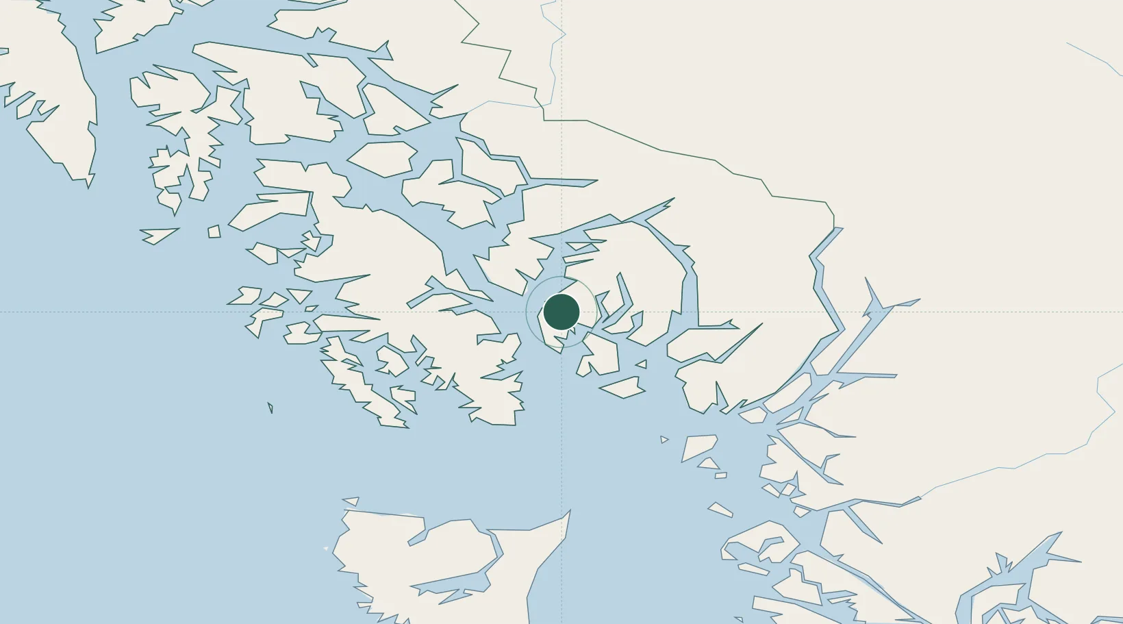
Hub Profile
Place type
Populated place
Region
Alaska
Time zone
America/Sitka
Elevation
53 m
Location
Nearby Logistics Neighbours
Cities
- 1Ketchikan6 km
- 2Metlakatla32 km
- 3Neets Bay43 km
- 4Prince Rupert151 km
- 5Queen Charlotte240 km
Ports
- 1Ketchikan9 km
- 2Loring23 km
- 3Metlakatla31 km
- 4Kasaan46 km
- 5Hydaburg74 km
Airports
Trade Zones
- 1PrInce George Logistics Park599 km
- 2FTZ Vancouver Island899 km
- 3FTZ No. 128 Whatcom County962 km
- 4FTZ No. 129 Bellingham968 km
- 5FTZ No. 173 Grays Harbor1048 km
DatabookThe Record of Consolidated Knowledge
United States beyond logistics?