Channel & Berth Profile
Pilotage, Tugs & Services
Pilotage availableYES
Facilities & Capabilities
Container—
Ro-Ro—
Liquid bulk—
Dry bulk—
Oil terminal—
Break bulk—
Dry dock—
Repairs—
Bunkering—
Rail link—
Dangerous cargo—
ISPS security—
Harbour Specifications
Harbour size
Very Small
Harbour type
Coastal (Natural)
Shelter
Good
Water body
Alaska-Canada coastal waters; North Pacific Ocean
Tidal range
2.7 m
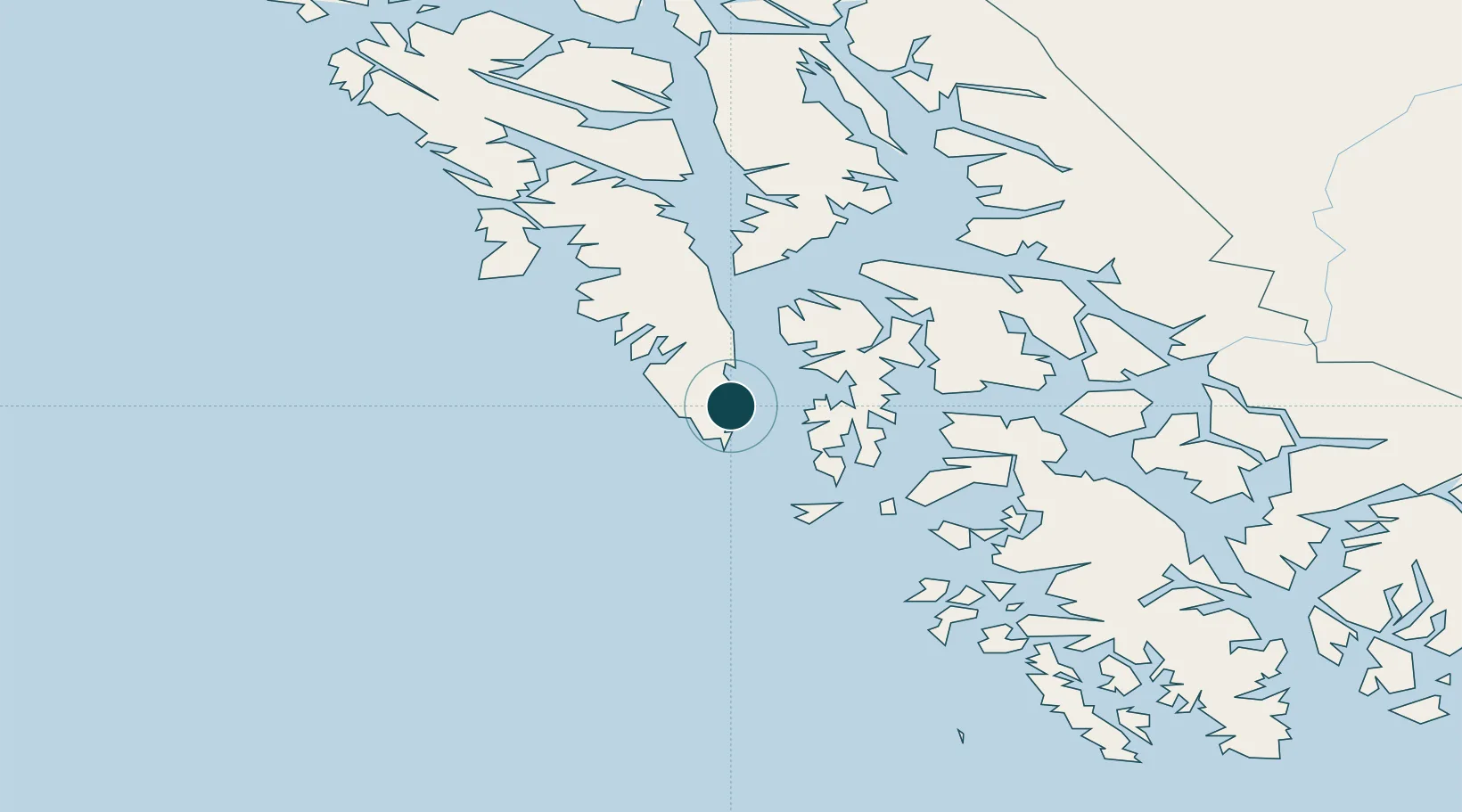
Location
Nearby Logistics Neighbours
Ports
- 1Big Port Walter6 km
- 2Port Armstrong10 km
- 3Port Alexander15 km
- 4Washington Bay43 km
- 5Kake78 km
Airports
Trade Zones
- 1PrInce George Logistics Park802 km
- 2FTZ No. 108 Valdez856 km
- 3FTZ Vancouver Island1106 km
- 4FTZ No. 128 Whatcom County1169 km
- 5FTZ No. 129 Bellingham1175 km
DatabookThe Record of Consolidated Knowledge
United States beyond logistics?