Channel & Berth Profile
Pilotage, Tugs & Services
Pilotage availableYES
Potable waterYES
Facilities & Capabilities
Container—
Ro-Ro—
Liquid bulk—
Dry bulk—
Oil terminal—
Break bulk—
Dry dock—
Repairs—
Bunkering—
Rail link—
Dangerous cargo—
ISPS security—
Harbour Specifications
Harbour size
Very Small
Harbour type
Open Roadstead
Shelter
Fair
Water body
Alaska-Canada coastal waters; North Pacific Ocean
Tidal range
3.4 m
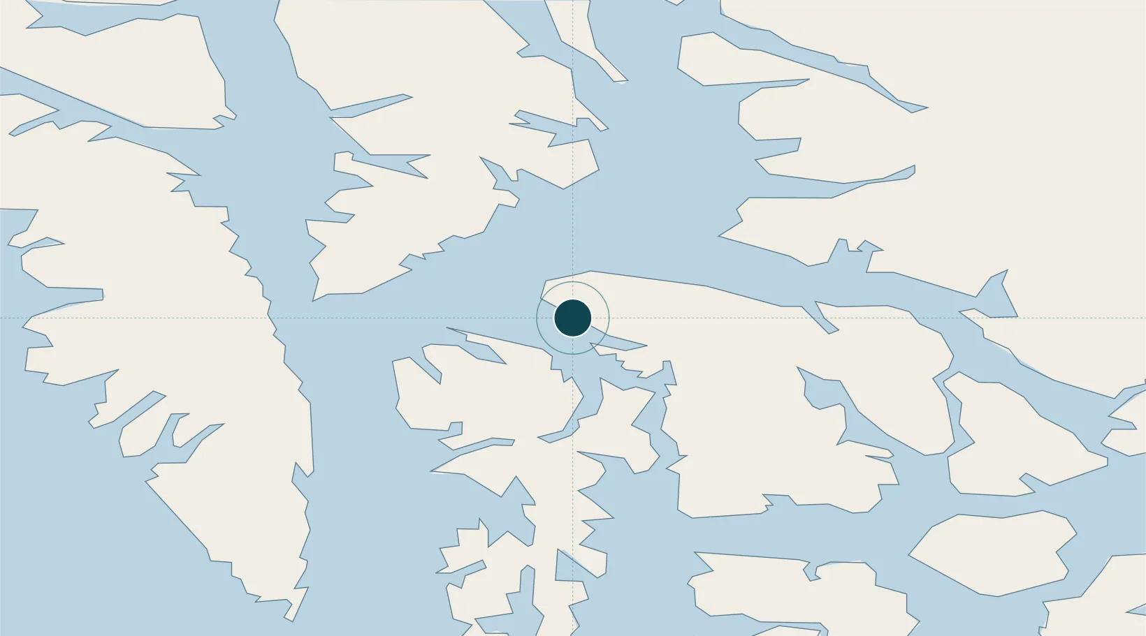
Location
Nearby Logistics Neighbours
Ports
- 1Washington Bay36 km
- 2Petersburg62 km
- 3Little Port Walter78 km
- 4Big Port Walter81 km
- 5Sitka85 km
Cities
- 1Tyee39 km
- 2Juneau153 km
- 3Pleasant Island184 km
- 4Neets Bay195 km
- 5Ward Cove222 km
Airports
- 1Kake Seaplane Base1 km
- 2Kake Airport2 km
- 3Petersburg James A Johnson Airport63 km
- 4Angoon Seaplane Base70 km
- 5Point Baker Seaplane Base71 km
Trade Zones
- 1PrInce George Logistics Park782 km
- 2FTZ No. 108 Valdez846 km
- 3FTZ Vancouver Island1119 km
- 4FTZ No. 195 Fairbanks1145 km
- 5FTZ No. 128 Whatcom County1182 km
DatabookThe Record of Consolidated Knowledge
United States beyond logistics?