Transport Functions
Port
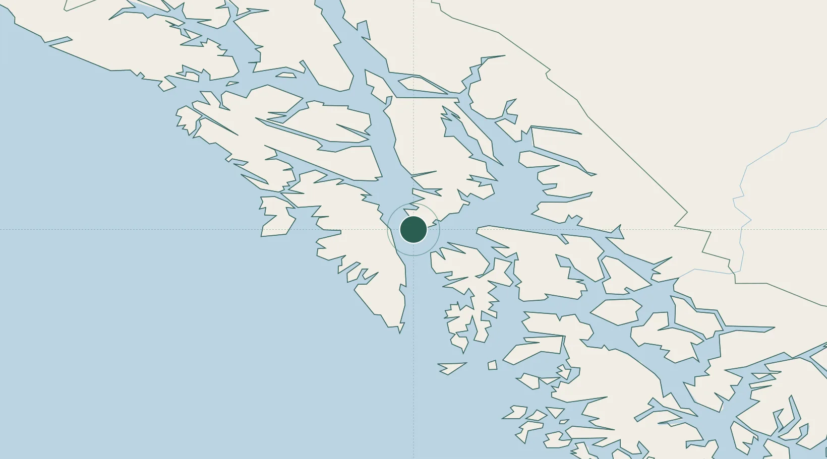
Hub Profile
Place type
Populated place
Region
Oregon
Time zone
America/Los_Angeles
Elevation
90 m
Location
Nearby Logistics Neighbours
Cities
- 1Juneau141 km
- 2Pleasant Island158 km
- 3Neets Bay230 km
- 4Ward Cove254 km
- 5Ketchikan260 km
Ports
- 1Washington Bay37 km
- 2Kake39 km
- 3Sitka47 km
- 4Chatham57 km
- 5Little Port Walter74 km
Airports
- 1Kake Seaplane Base38 km
- 2Kake Airport40 km
- 3Sitka Seaplane Base48 km
- 4Sitka Rocky Gutierrez Airport49 km
- 5Angoon Seaplane Base50 km
Trade Zones
- 1FTZ No. 108 Valdez811 km
- 2PrInce George Logistics Park820 km
- 3FTZ No. 195 Fairbanks1117 km
- 4FTZ Vancouver Island1152 km
- 5FTZ No. 128 Whatcom County1216 km
DatabookThe Record of Consolidated Knowledge
United States beyond logistics?