Medium airport · United States
Whidbey Island Naval Air Station (Ault Field)KNUW
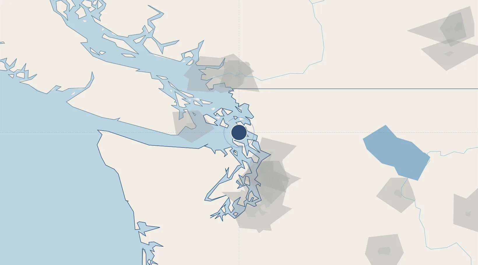
48.3518°, -122.6560°
8,001 ft
Longest runway
2
Runways
47 ft
Elevation
Runway & Layout

Radio Frequencies
ATIS
134.15 MHz
TWR
127.9 MHz
GND
121.75 MHz
CLD
124.15 MHz
CLNC DEL
A/D
118.2 MHz
APP/DEP
OPS
35.01 MHz
BASE OPS
PMSV
34.34 MHz
PMSV METRO
Runways · 2
| Runway | Dimensions | Surface | True heading | Lit |
|---|---|---|---|---|
| 14/32 | 8,001 × 200ft | CONC | 155° | — |
| 07/25 | 7,999 × 200ft | Concrete | 087° | ✓ |
Airport Specifications
IATA code
NUW
ICAO code
KNUW
Airport class
Medium airport
Scheduled service
No
Runway surface
CONC
Served city
Oak Harbor
Location
Nearby Logistics Neighbours
Airports
- 1Anacortes Airport16 km
- 2Center Island Airport20 km
- 3Decatur Shores Airport20 km
- 4Lopez Island Airport26 km
- 5Fishermans Bay Seaplane Base27 km
Cities
- 1Mount Vernon26 km
- 2Port Hadlock32 km
- 3Sedro Woolley35 km
- 4Freeland40 km
- 5Lakewood41 km
Ports
- 1Coupeville13 km
- 2Anacortes19 km
- 3Port Townsend27 km
- 4Friday Harbor33 km
- 5Orcas34 km
Trade Zones
- 1FTZ No. 129 Bellingham46 km
- 2FTZ No. 085 Everett51 km
- 3FTZ No. 128 Whatcom County52 km
- 4FTZ No. 005 Seattle83 km
- 5FTZ Vancouver Island105 km
DatabookThe Record of Consolidated Knowledge
United States beyond logistics?