UN/LOCODE hub · United States
USMKW
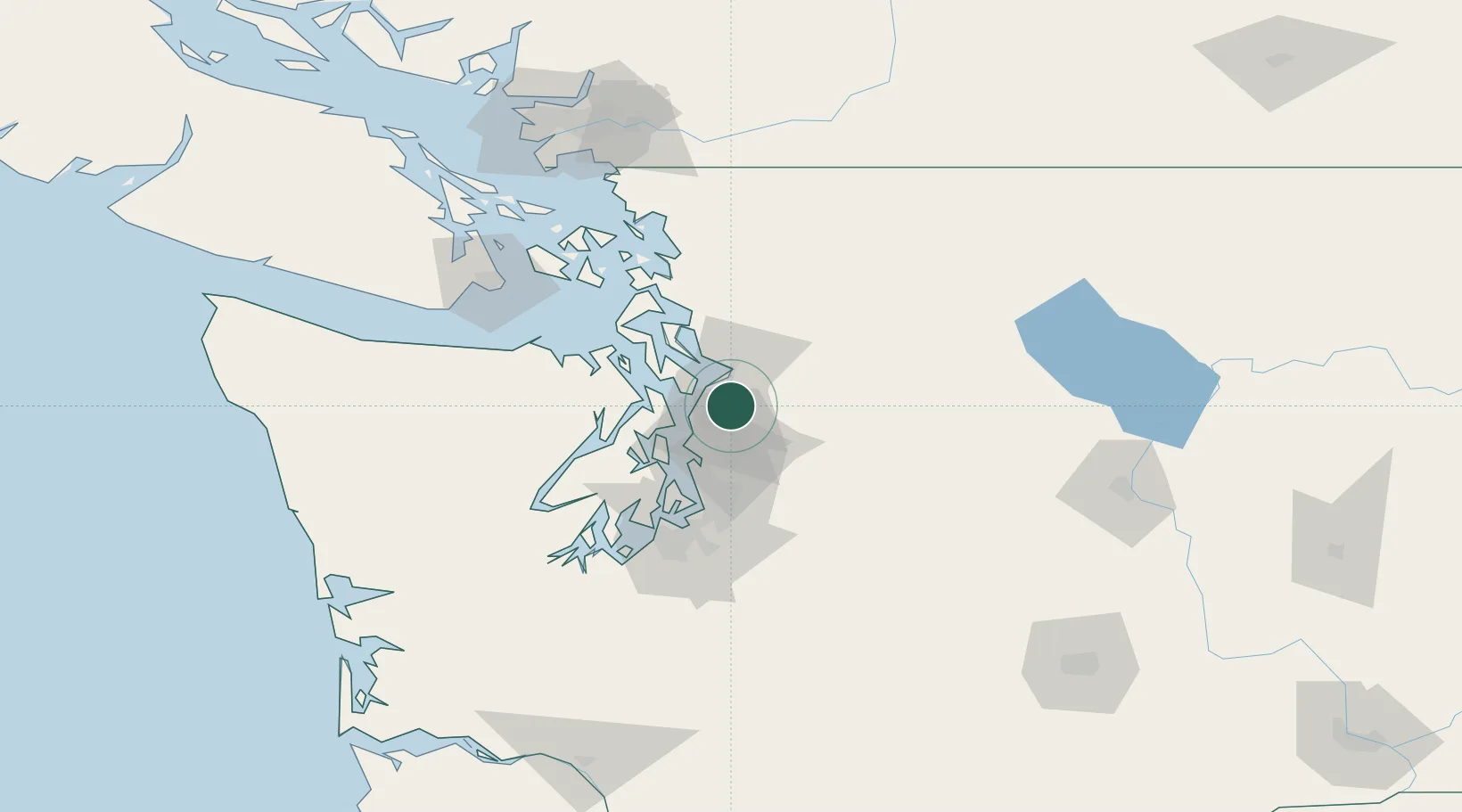
Mill Creek
47.8500°, -122.2000°
20,043
Population
2
Transport functions
Transport Functions
Port
Road
Hub Profile
Place type
Populated place
Region
Washington
Population
20,043
Time zone
America/Los_Angeles
Elevation
115 m
Location
Nearby Logistics Neighbours
Ports
- 1Mukilteo13 km
- 2Point Wells17 km
- 3Everett17 km
- 4Port Gamble29 km
- 5Seattle30 km
Airports
Trade Zones
- 1FTZ No. 085 Everett17 km
- 2FTZ No. 005 Seattle34 km
- 3FTZ No. 086 Tacoma67 km
- 4FTZ No. 212 Tacoma71 km
- 5FTZ No. 129 Bellingham103 km
DatabookThe Record of Consolidated Knowledge
United States beyond logistics?