Foreign Trade Zone · United States

FTZ No. 212 Tacoma Inactive

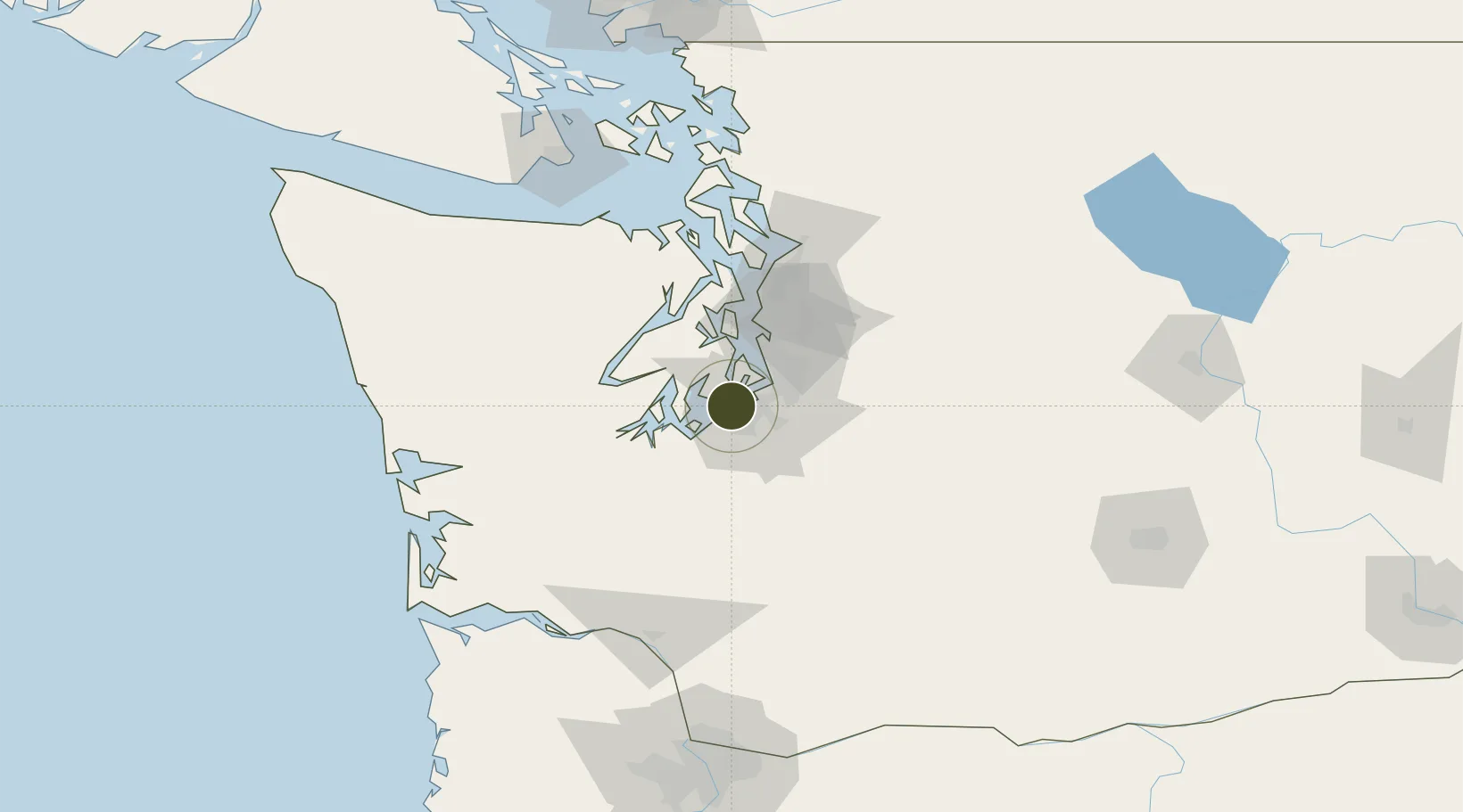
47.2492°, -122.5269°
9.1 km
Nearest port
4.3 km
Nearest airport

Gateway access

Nearest neighbours — logibook spatial index (haversine) over the source coordinates

Zone profile

Zone type
Foreign Trade Zone
Open Zone Map
Region
Washington
Open Zone Map
Status
Inactive
Open Zone Map
Management
Public-Private Partnership
Open Zone Map
Operator
Puyallup Tribal Foreign-Trade Zone Corp.
Open Zone Map
Legal framework
Foreign-Trade Zones Act
Open Zone Map

Location

Location of ozm-4906
Natural Earth 10m (public domain) · Washington · ozm-4906 · 47.25, -122.53GoogleOSMYandex

Nearby Logistics Neighbours

Ports
  1. 1Tacoma9 km
  2. 2Port Orchard33 km
  3. 3Olympia36 km
  4. 4Bremerton37 km
  5. 5Seattle42 km
Nearest neighbours — logibook spatial index (haversine) over the source coordinates
Airports
  1. 1Tacoma Narrows Airport4 km
  2. 2McChord Air Force Base13 km
  3. 3Gray Army Air Field19 km
  4. 4Seattle–Tacoma International Airport28 km
  5. 5Bremerton National Airport32 km
Nearest neighbours — logibook spatial index (haversine) over the source coordinates
Cities
  1. 1Tacoma11 km
  2. 2Fife13 km
  3. 3McChord Air Force Base13 km
  4. 4Wauna15 km
  5. 5Vashon Island19 km
Nearest neighbours — logibook spatial index (haversine) over the source coordinates
Trade Zones
  1. 1FTZ No. 086 Tacoma9 km
  2. 2FTZ No. 216 Olympia38 km
  3. 3FTZ No. 005 Seattle41 km
  4. 4FTZ No. 085 Everett87 km
  5. 5FTZ No. 120 Cowlitz County131 km
Nearest neighbours — logibook spatial index (haversine) over the source coordinates
DatabookThe Record of Consolidated Knowledge
United States beyond logistics?
Browse databook

All Sources

Trade ZonesOpen Zone Map
CC BY
Portsthe NGA World Port Index
Public domain (US gov)
AirportsOurAirports
Public domain
LocationsUN/LOCODE
UN/LOCODE — free
← United States trade zones