Channel & Berth Profile
Pilotage, Tugs & Services
Pilotage compulsoryYES
Diesel bunkersYES
Facilities & Capabilities
Container—
Ro-Ro—
Liquid bulk—
Dry bulk—
Oil terminal—
Break bulk—
Dry dock—
Repairs—
Bunkering—
Rail link—
Dangerous cargo—
ISPS security—
Harbour Specifications
Harbour size
Very Small
Harbour type
Coastal (Natural)
Shelter
Excellent
Water body
Alaska-Canada coastal waters; North Pacific Ocean
Tidal range
2.4 m
Pilotage
Yes
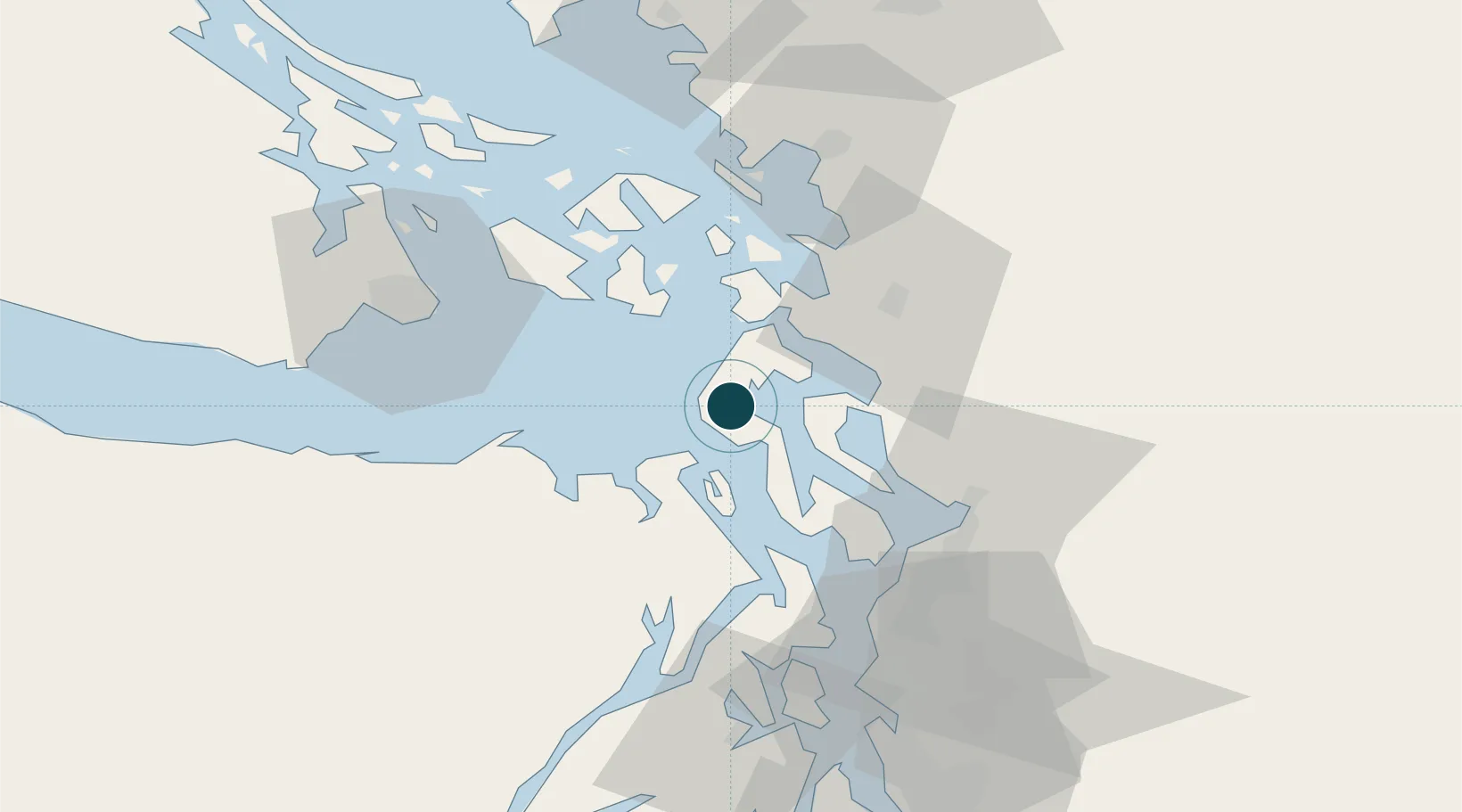
Location
Nearby Logistics Neighbours
Ports
- 1Port Townsend14 km
- 2Anacortes32 km
- 3Friday Harbor42 km
- 4Mukilteo43 km
- 5Port Gamble43 km
Cities
- 1Port Hadlock18 km
- 2Freeland28 km
- 3Mount Vernon34 km
- 4Tulalip35 km
- 5Port Ludlow35 km
Airports
Trade Zones
- 1FTZ No. 085 Everett43 km
- 2FTZ No. 129 Bellingham59 km
- 3FTZ No. 128 Whatcom County65 km
- 4FTZ No. 005 Seattle71 km
- 5FTZ No. 086 Tacoma110 km
DatabookThe Record of Consolidated Knowledge
United States beyond logistics?