Medium airport · United States

Arlington Municipal AirportKAWO

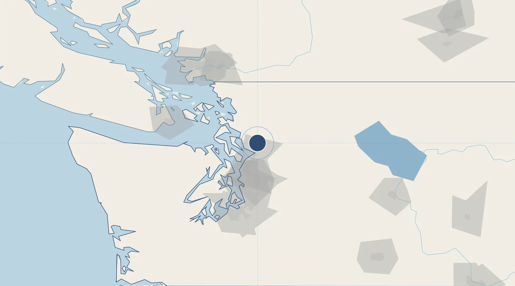
48.1614°, -122.1584°
5,332 ft
Longest runway
2
Runways
142 ft
Elevation

Runway & Layout

Arlington Municipal Airport runway & taxiway layout
Runway & taxiway layout — OpenStreetMap (ODbL) / OurAirports

Radio Frequencies

AWOS
135.625 MHz
AWOS 3
CNTR
128.5 MHz
SEATTLE CNTR
UNIC
122.7 MHz
CTAF/UNICOM
OurAirports

Runways · 2

RunwayDimensions SurfaceTrue headingLit
16/34 5,332 × 100ft Asphalt 179°
11/29 3,498 × 75ft Asphalt 127°
OurAirports

Airport Specifications

ICAO code
KAWO
OurAirports
Airport class
Medium airport
OurAirports
Scheduled service
Yes
OurAirports
Runway surface
Asphalt
OurAirports
Served city
Arlington
OurAirports

Location

Location of KAWO
Natural Earth 10m (public domain) · Washington · KAWO · 48.16, -122.16GoogleOSMYandex

Nearby Logistics Neighbours

Airports
  1. 1Seattle Paine Field International Airport30 km
  2. 2Whidbey Island Naval Air Station (Ault Field)43 km
  3. 3Kenmore Air Harbor LLC Seaplane Base46 km
  4. 4Anacortes Airport53 km
  5. 5Kenmore Air Harbor Seaplane Base61 km
Nearest neighbours — logibook spatial index (haversine) over the source coordinates
Cities
  1. 1Smokey Point1 km
  2. 2Lakewood3 km
  3. 3Tulalip14 km
  4. 4Lake Stevens18 km
  5. 5Everett22 km
Nearest neighbours — logibook spatial index (haversine) over the source coordinates
Ports
  1. 1Everett19 km
  2. 2Mukilteo26 km
  3. 3Coupeville40 km
  4. 4Port Townsend44 km
  5. 5Point Wells46 km
Nearest neighbours — logibook spatial index (haversine) over the source coordinates
Trade Zones
  1. 1FTZ No. 085 Everett18 km
  2. 2FTZ No. 005 Seattle66 km
  3. 3FTZ No. 129 Bellingham71 km
  4. 4FTZ No. 128 Whatcom County78 km
  5. 5FTZ No. 086 Tacoma101 km
Nearest neighbours — logibook spatial index (haversine) over the source coordinates
DatabookThe Record of Consolidated Knowledge
United States beyond logistics?
Browse databook

All Sources

AirportsOurAirports
Public domain
Portsthe NGA World Port Index
Public domain (US gov)
LocationsUN/LOCODE
UN/LOCODE — free
Trade Zonesthe World Bank SEZ database
CC BY 4.0
Trade ZonesOpen Zone Map
CC BY
InfrastructureOpenStreetMap
ODbL 1.0
← United States airports