UN/LOCODE hub · United States
USLS2
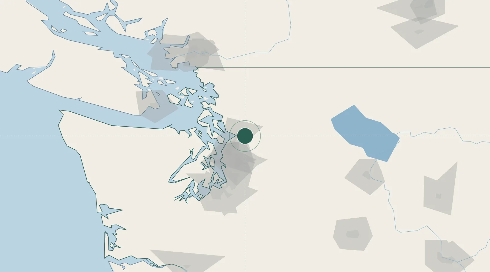
Lake Stevens
48.0167°, -122.0667°
30,886
Population
2
Transport functions
Transport Functions
Road
Multimodal
Hub Profile
Place type
Populated place
Region
Washington
Population
30,886
Time zone
America/Los_Angeles
Elevation
66 m
Location
Nearby Logistics Neighbours
Cities
- 1Everett14 km
- 2Smokey Point17 km
- 3Tulalip17 km
- 4Lakewood18 km
- 5Mukilteo19 km
Ports
- 1Everett11 km
- 2Mukilteo19 km
- 3Point Wells36 km
- 4Port Gamble43 km
- 5Seattle50 km
Airports
Trade Zones
- 1FTZ No. 085 Everett11 km
- 2FTZ No. 005 Seattle55 km
- 3FTZ No. 086 Tacoma88 km
- 4FTZ No. 129 Bellingham89 km
- 5FTZ No. 212 Tacoma92 km
DatabookThe Record of Consolidated Knowledge
United States beyond logistics?