Medium airport · United States
Seattle Paine Field International AirportKPAE
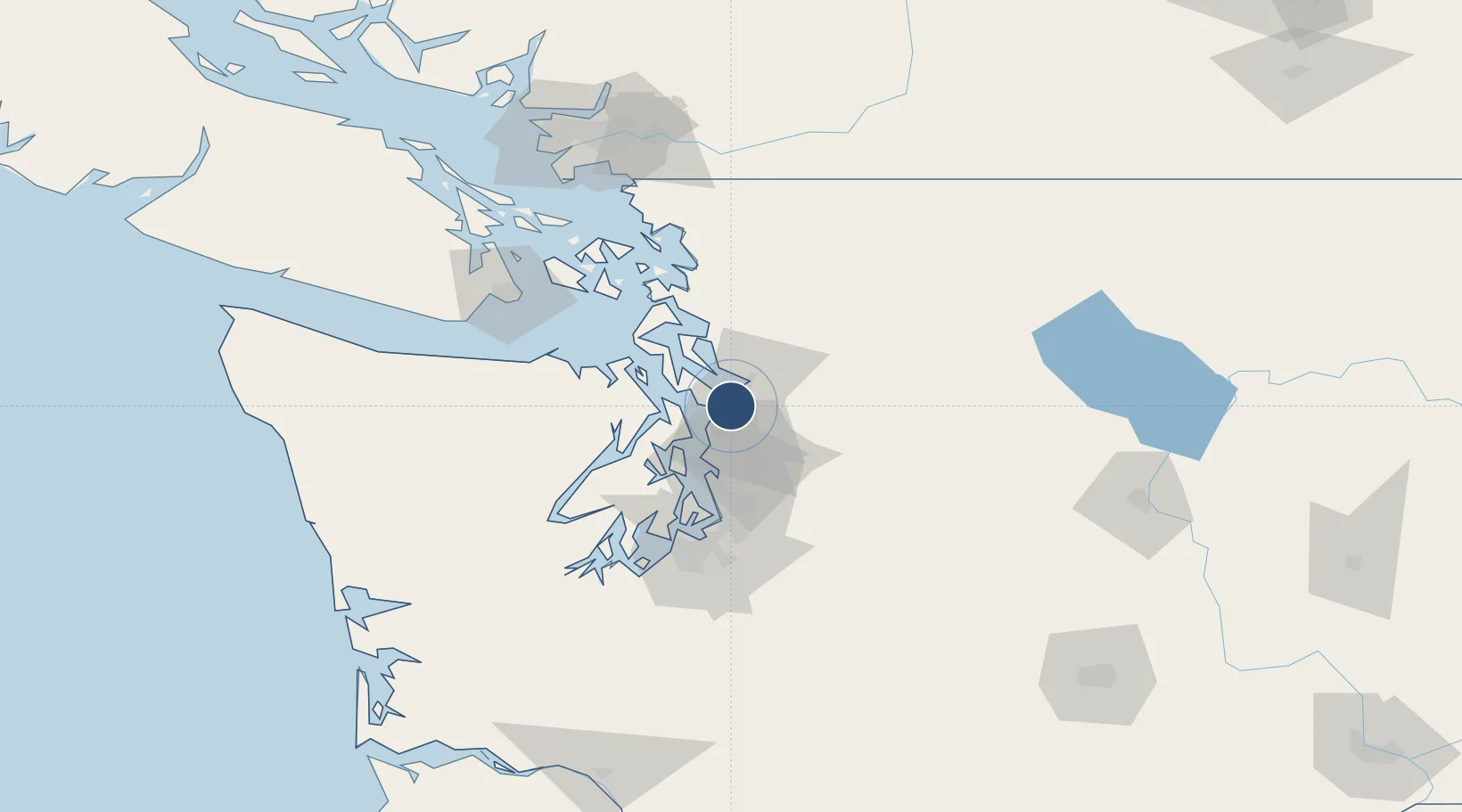
47.9063°, -122.2820°
9,010 ft
Longest runway
2
Runways
606 ft
Elevation
Runway & Layout

Radio Frequencies
ATIS
128.65 MHz
TWR
120.2 MHz
ACFT ARR E OF CNTRLN ORRY 16L/34R
TWR
132.95 MHz
ACFT ARR W OF CNTRLN ORRY 16R/34L
GND
121.8 MHz
CLD
126.75 MHz
CLNC DEL
CTAF
132.95 MHz
CNTR
128.5 MHz
SEATTLE CNTR
OPS
34.1 MHz
AR OPS
RDO
132.96 MHz
SEATTLE RDO
UNIC
122.95 MHz
UNICOM
Navaids
PA NDB Ritts 396 kHz
PAE VOR-DME Paine 110.60 MHz
Runways · 2
| Runway | Dimensions | Surface | True heading | Lit |
|---|---|---|---|---|
| 16R/34L | 9,010 × 150ft | Asphalt | 179° | ✓ |
| 16L/34R | 3,004 × 75ft | Asphalt | 180° | ✓ |
Airport Specifications
IATA code
PAE
ICAO code
KPAE
Airport class
Medium airport
Scheduled service
Yes
Runway surface
Asphalt
Served city
Everett
Location
Nearby Logistics Neighbours
Airports
Cities
- 1Mukilteo5 km
- 2Everett8 km
- 3Mill Creek9 km
- 4Lynnwood11 km
- 5Puget Sound15 km
Ports
- 1Mukilteo5 km
- 2Everett12 km
- 3Point Wells16 km
- 4Port Gamble23 km
- 5Poulsbo34 km
Trade Zones
- 1FTZ No. 085 Everett12 km
- 2FTZ No. 005 Seattle36 km
- 3FTZ No. 086 Tacoma72 km
- 4FTZ No. 212 Tacoma75 km
- 5FTZ No. 129 Bellingham96 km
DatabookThe Record of Consolidated Knowledge
United States beyond logistics?