Transport Functions
Rail
Road
Multimodal
Hub Profile
Place type
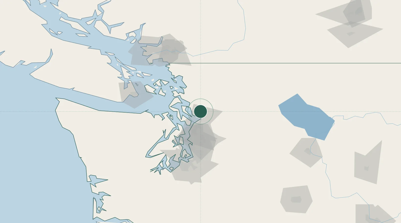
Populated place
Region
Washington
Time zone
America/Los_Angeles
Elevation
37 m
Location
Nearby Logistics Neighbours
Cities
- 1Smokey Point3 km
- 2Tulalip11 km
- 3Lake Stevens18 km
- 4Everett20 km
- 5Mukilteo23 km
Ports
- 1Everett17 km
- 2Mukilteo23 km
- 3Coupeville37 km
- 4Port Townsend41 km
- 5Point Wells43 km
Airports
Trade Zones
- 1FTZ No. 085 Everett17 km
- 2FTZ No. 005 Seattle63 km
- 3FTZ No. 129 Bellingham71 km
- 4FTZ No. 128 Whatcom County78 km
- 5FTZ No. 086 Tacoma100 km
DatabookThe Record of Consolidated Knowledge
United States beyond logistics?