Seaplane base · United States
Kenmore Air Harbor Seaplane BaseW55
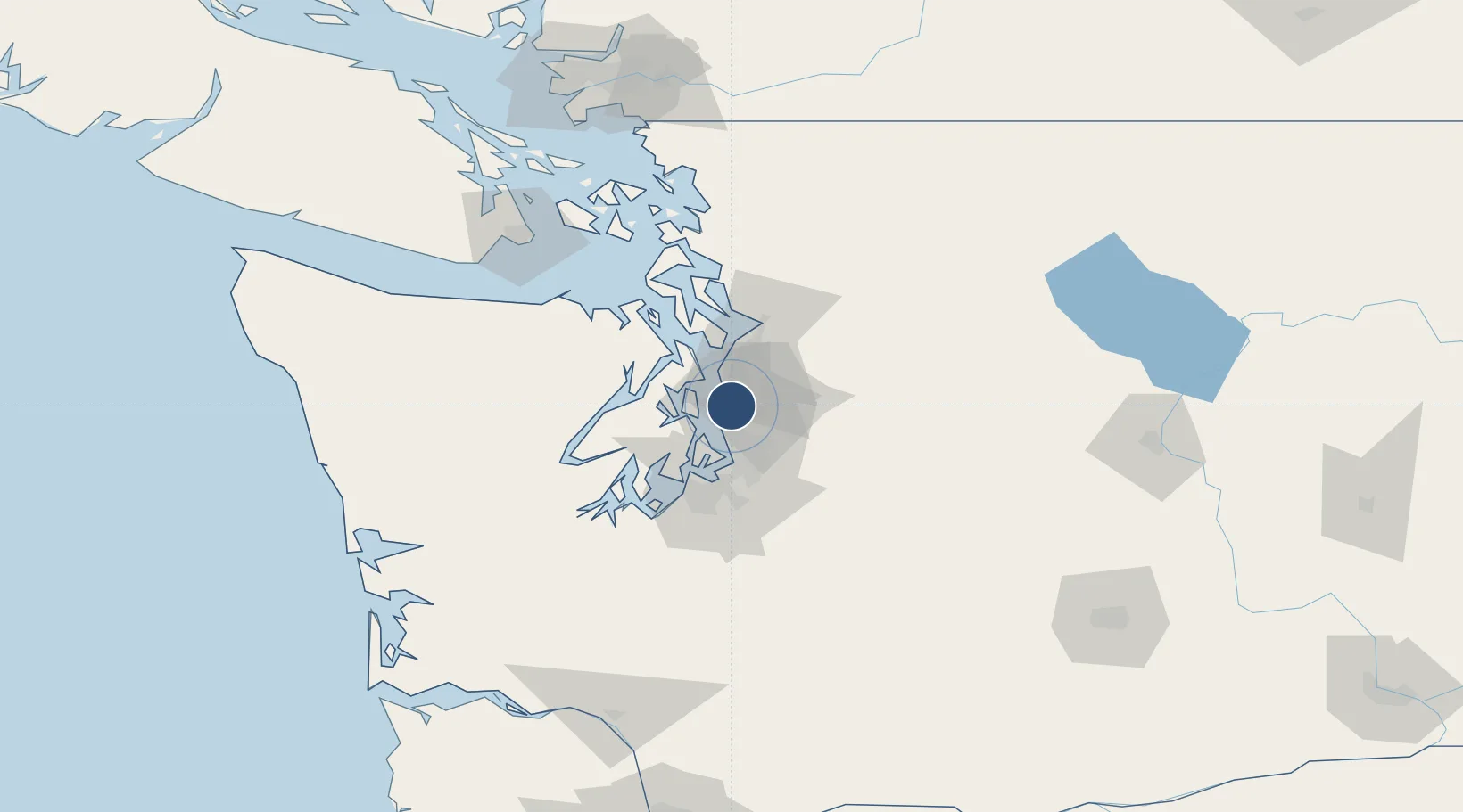
47.6290°, -122.3390°
5,000 ft
Longest runway
1
Runways
14 ft
Elevation
Runway & Layout

Runways · 1
| Runway | Dimensions | Surface | True heading | Lit |
|---|---|---|---|---|
| 16/34 | 5,000 × 500ft | Water | — | — |
Airport Specifications
IATA code
LKE
ICAO code
W55
Airport class
Seaplane base
Scheduled service
Yes
Runway surface
Water
Served city
Seattle
Location
Nearby Logistics Neighbours
Airports
Cities
- 1Madison Park5 km
- 2Seattle10 km
- 3Bainbridge Island12 km
- 4Port Blakely13 km
- 5Boeing Field Apt13 km
Ports
- 1Seattle3 km
- 2Point Wells18 km
- 3Keyport22 km
- 4Bremerton24 km
- 5Port Orchard25 km
Trade Zones
- 1FTZ No. 005 Seattle11 km
- 2FTZ No. 086 Tacoma41 km
- 3FTZ No. 085 Everett43 km
- 4FTZ No. 212 Tacoma45 km
- 5FTZ No. 216 Olympia79 km
DatabookThe Record of Consolidated Knowledge
United States beyond logistics?