Channel & Berth Profile
Pilotage, Tugs & Services
Pilotage compulsoryYES
Pilotage availableYES
Shore powerYES
Potable waterYES
Diesel bunkersYES
MedicalYES
Garbage disposalYES
Facilities & Capabilities
Container—
Ro-Ro—
Liquid bulk—
Dry bulk—
Oil terminal—
Break bulk—
Dry dock—
RepairsNO
BunkeringYES
Rail linkYES
Dangerous cargo—
ISPS security—
Harbour Specifications
Harbour size
Small
Harbour type
Coastal (Natural)
Shelter
Good
Water body
Alaska-Canada coastal waters; North Pacific Ocean
Tidal range
1.5 m
Pilotage
Yes
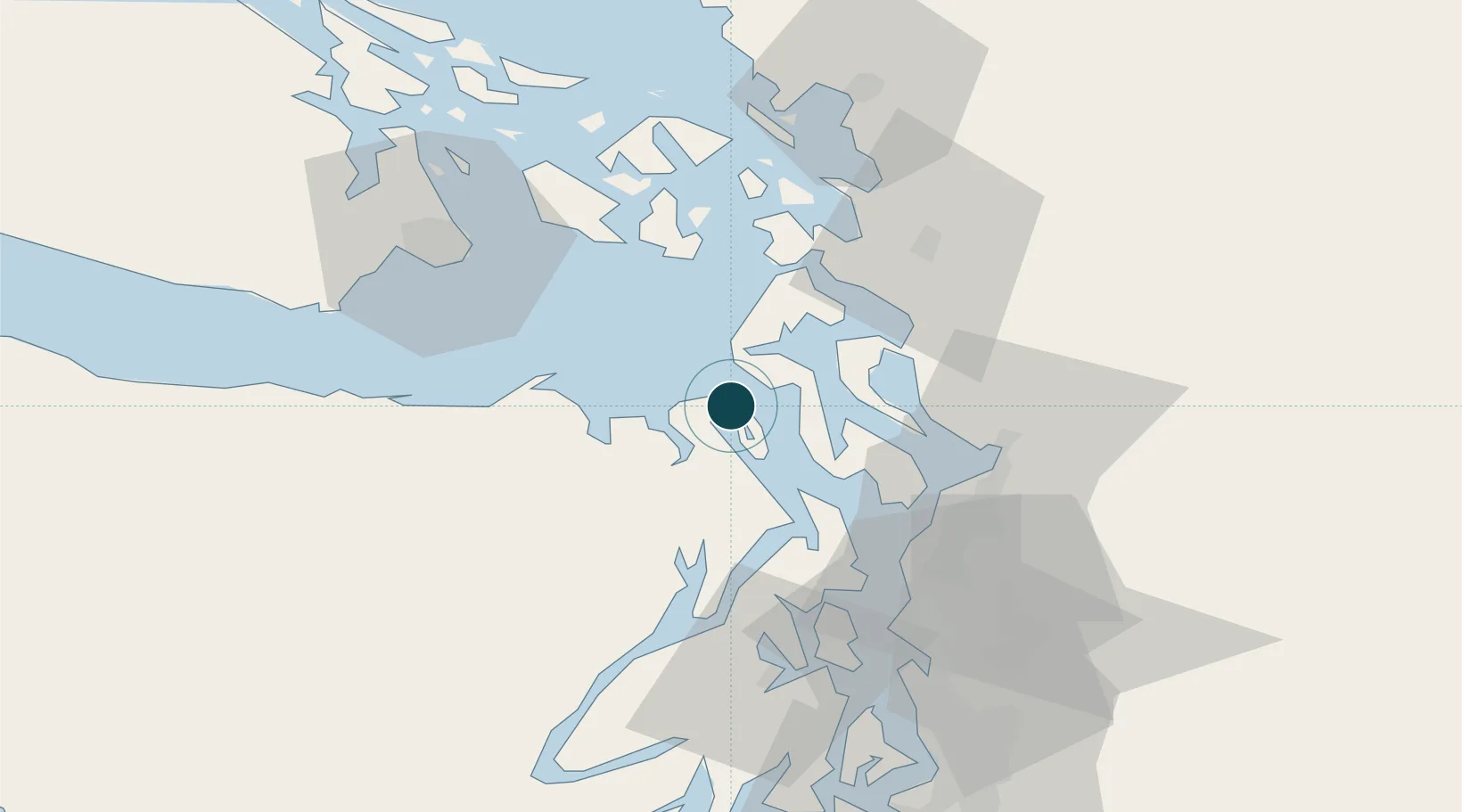
Location
Nearby Logistics Neighbours
Ports
- 1Coupeville14 km
- 2Port Gamble32 km
- 3Mukilteo38 km
- 4Everett42 km
- 5Poulsbo43 km
Cities
- 1Port Hadlock5 km
- 2Freeland21 km
- 3Port Ludlow23 km
- 4Port Gamble32 km
- 5Tulalip35 km
Airports
Trade Zones
- 1FTZ No. 085 Everett42 km
- 2FTZ No. 005 Seattle60 km
- 3FTZ No. 129 Bellingham73 km
- 4FTZ No. 128 Whatcom County79 km
- 5FTZ No. 212 Tacoma98 km
DatabookThe Record of Consolidated Knowledge
United States beyond logistics?