Channel & Berth Profile
Facilities & Capabilities
Container—
Ro-Ro—
Liquid bulk—
Dry bulk—
Oil terminal—
Break bulk—
Dry dock—
Repairs—
Bunkering—
Rail link—
Dangerous cargo—
ISPS security—
Harbour Specifications
Harbour size
Very Small
Harbour type
Coastal (Natural)
Shelter
Excellent
Water body
Alaska-Canada coastal waters; North Pacific Ocean
Tidal range
2.1 m
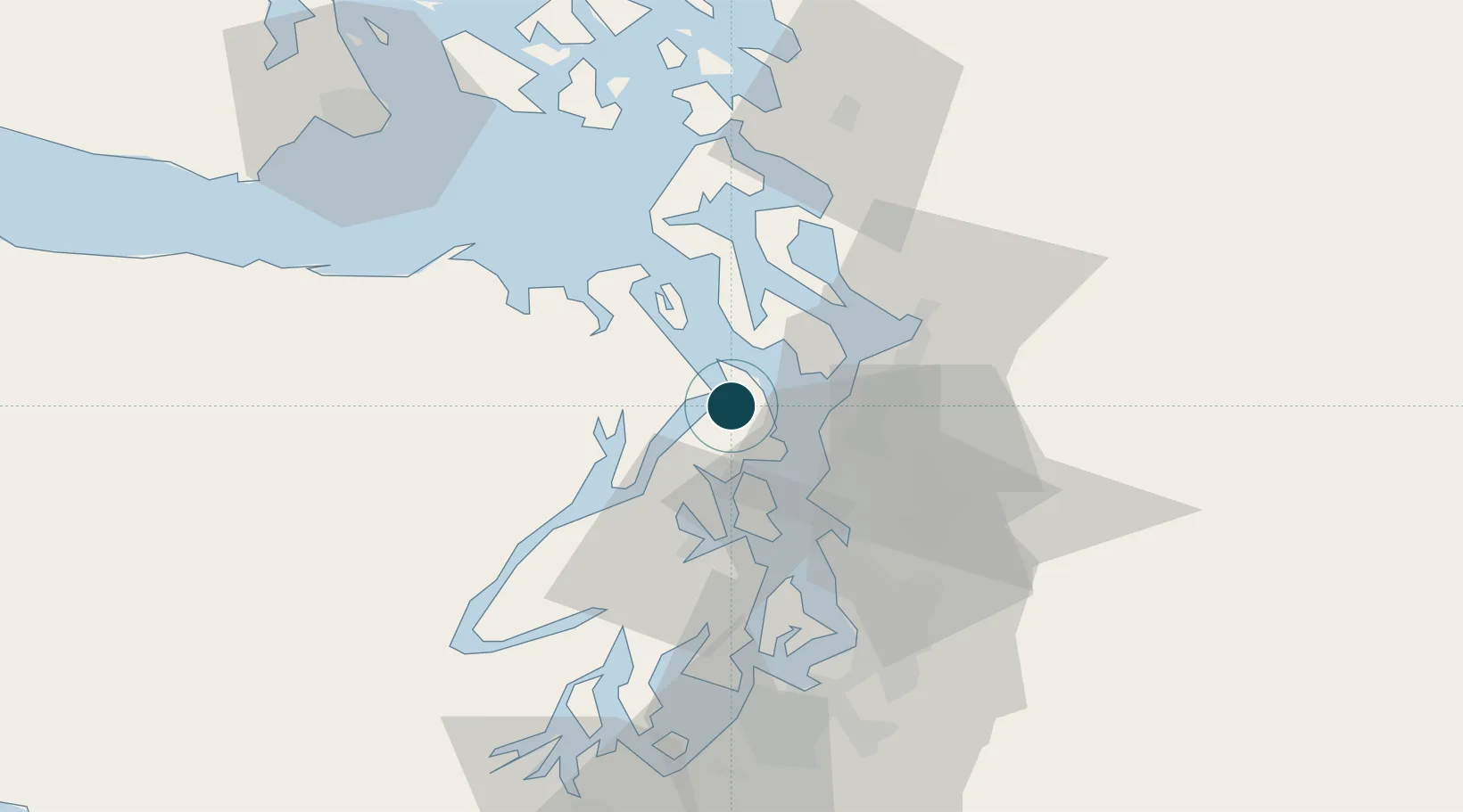
Location
Nearby Logistics Neighbours
Ports
- 1Poulsbo14 km
- 2Point Wells16 km
- 3Keyport17 km
- 4Mukilteo24 km
- 5Silverdale24 km
Cities
- 1Port Ludlow11 km
- 2Puget Sound12 km
- 3Point Wells16 km
- 4Port Madison17 km
- 5Keyport17 km
Airports
Trade Zones
- 1FTZ No. 005 Seattle27 km
- 2FTZ No. 085 Everett32 km
- 3FTZ No. 086 Tacoma66 km
- 4FTZ No. 212 Tacoma67 km
- 5FTZ No. 216 Olympia94 km
DatabookThe Record of Consolidated Knowledge
United States beyond logistics?