UN/LOCODE hub · United States
USMKI
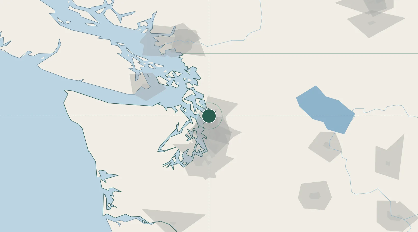
Mukilteo
47.9500°, -122.3000°
21,226
Population
3
Transport functions
Transport Functions
Port
Rail
Road
Hub Profile
Place type
Populated place
Region
Washington
Population
21,226
Time zone
America/Los_Angeles
Elevation
32 m
Location
Nearby Logistics Neighbours
Cities
- 1Everett5 km
- 2Tulalip13 km
- 3Mill Creek13 km
- 4Lynnwood15 km
- 5Puget Sound18 km
Ports
- 1Everett8 km
- 2Point Wells20 km
- 3Port Gamble24 km
- 4Poulsbo36 km
- 5Keyport37 km
Airports
Trade Zones
- 1FTZ No. 085 Everett8 km
- 2FTZ No. 005 Seattle40 km
- 3FTZ No. 086 Tacoma77 km
- 4FTZ No. 212 Tacoma80 km
- 5FTZ No. 129 Bellingham91 km
DatabookThe Record of Consolidated Knowledge
United States beyond logistics?