Seaplane base · United States
Kenmore Air Harbor LLC Seaplane BaseS60
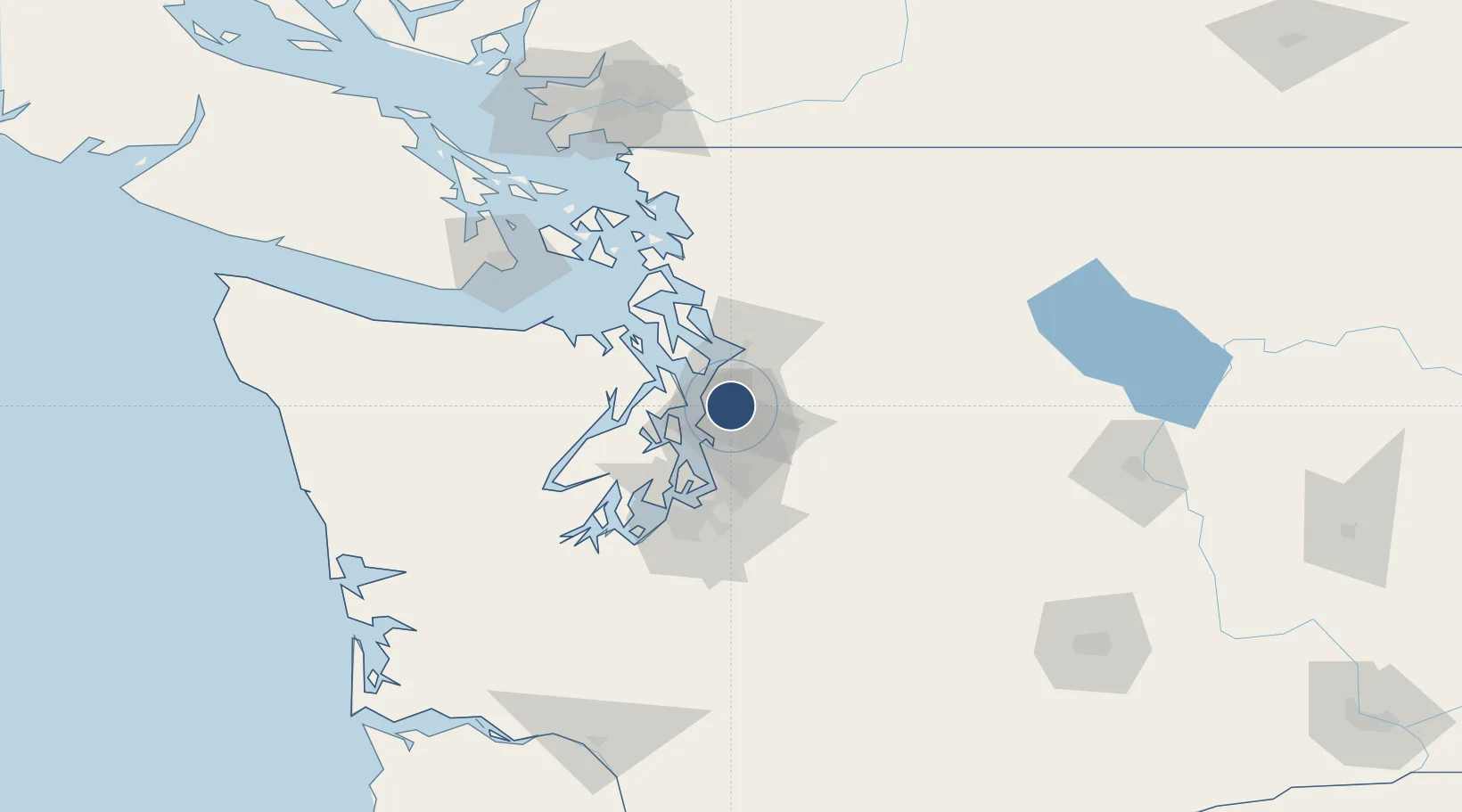
47.7548°, -122.2590°
10,000 ft
Longest runway
2
Runways
14 ft
Elevation
Runway & Layout
Runways · 2
| Runway | Dimensions | Surface | True heading | Lit |
|---|---|---|---|---|
| 16/34 | 10,000 × 1000ft | Water | — | — |
| 18/36 | 3,000 × 1000ft | Water | — | — |
Airport Specifications
IATA code
KEH
ICAO code
S60
Airport class
Seaplane base
Scheduled service
Yes
Runway surface
Water
Served city
Kenmore
Location
Nearby Logistics Neighbours
Airports
Cities
- 1Bothell4 km
- 2Shoreline6 km
- 3Lynnwood9 km
- 4Point Wells11 km
- 5Mill Creek12 km
Ports
- 1Point Wells11 km
- 2Seattle18 km
- 3Mukilteo22 km
- 4Port Gamble26 km
- 5Keyport27 km
Trade Zones
- 1FTZ No. 005 Seattle23 km
- 2FTZ No. 085 Everett28 km
- 3FTZ No. 086 Tacoma56 km
- 4FTZ No. 212 Tacoma60 km
- 5FTZ No. 216 Olympia94 km
DatabookThe Record of Consolidated Knowledge
United States beyond logistics?