Transport Functions
Multimodal
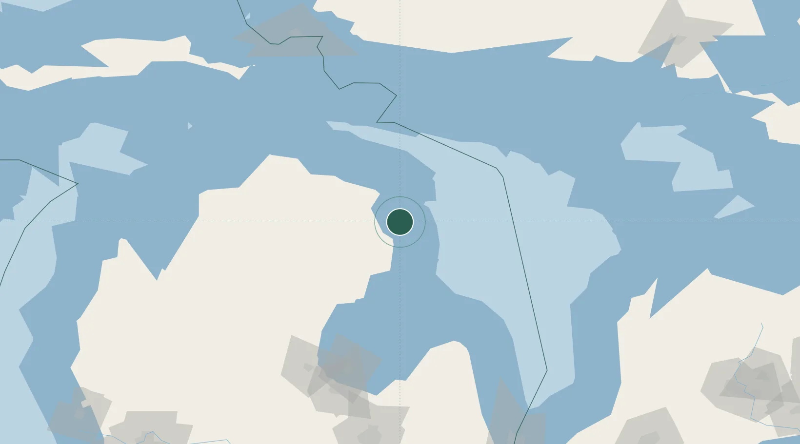
Hub Profile
Place type
Populated place
Region
Michigan
Population
938
Time zone
America/Detroit
Elevation
199 m
Location
Nearby Logistics Neighbours
Cities
- 1Presque Isle45 km
- 2Posen46 km
- 3Calcite62 km
- 4Tawas City71 km
- 5Lupton71 km
Ports
- 1Alpena19 km
- 2Oscoda55 km
- 3Calcite64 km
- 4Rogers City68 km
- 5Tawas City71 km
Airports
Trade Zones
- 1FTZ No. 016 Sault Ste. Marie192 km
- 2FTZ No. 140 Flint212 km
- 3FTZ No. 284 Genesee County216 km
- 4FTZ No. 210 St. Clair County241 km
- 5FTZ No. 101 Clinton County241 km
DatabookThe Record of Consolidated Knowledge
United States beyond logistics?