UN/LOCODE hub · United States
USVLC
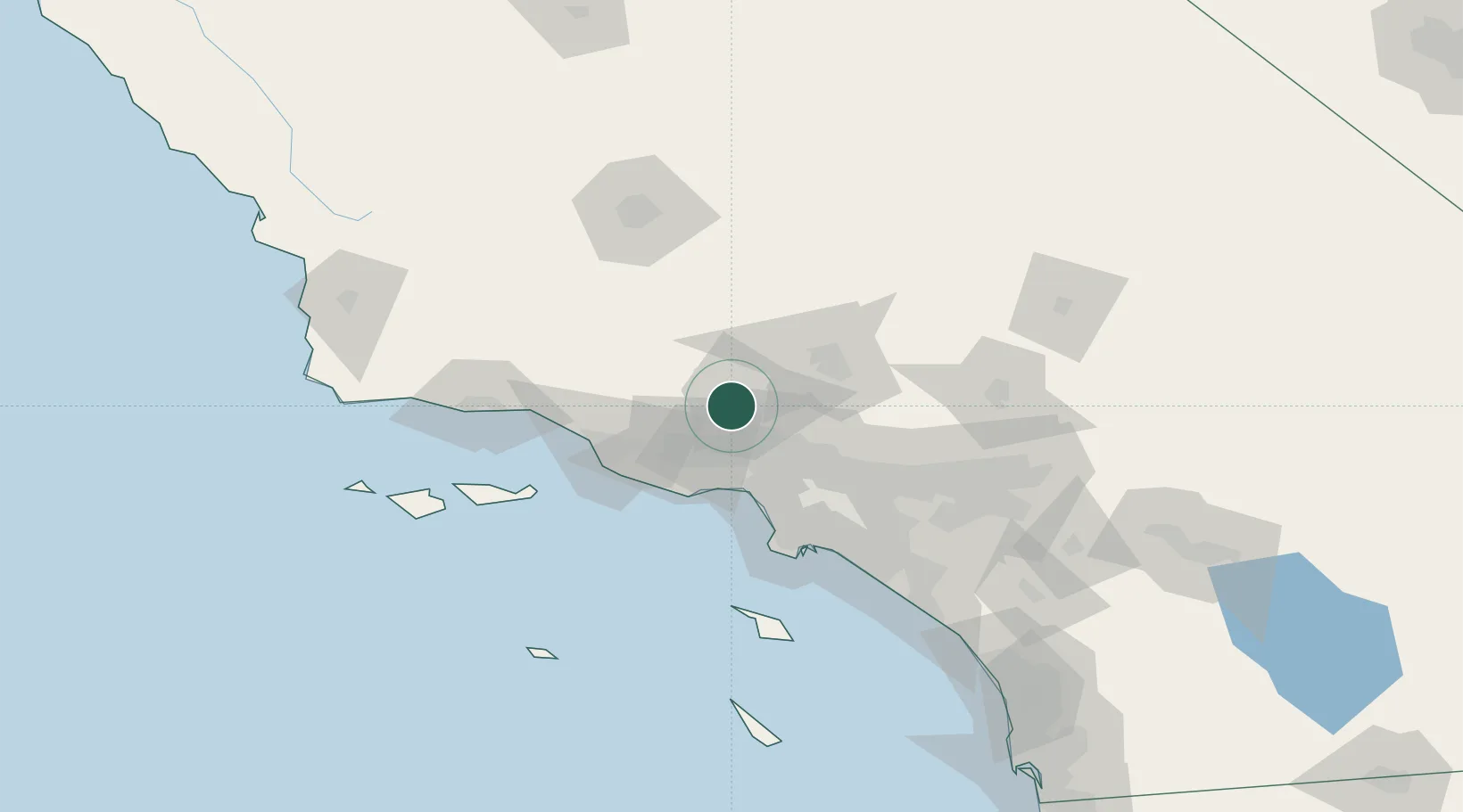
Valencia
34.4333°, -118.6000°
148,456
Population
3
Transport functions
Transport Functions
Rail
Road
Multimodal
Hub Profile
Place type
Populated place
Region
California
Population
148,456
Time zone
America/Los_Angeles
Elevation
310 m
Location
Nearby Logistics Neighbours
Cities
- 1Saugus6 km
- 2Castaic8 km
- 3Newhall8 km
- 4North Hills25 km
- 5Fillmore30 km
Ports
- 1El Segundo60 km
- 2Port Hueneme64 km
- 3Ventura65 km
- 4Los Angeles83 km
- 5Long Beach84 km
Airports
Trade Zones
- 1FTZ No. 191 Palmdale47 km
- 2FTZ No. 205 Port Hueneme64 km
- 3FTZ No. 050 Long Beach81 km
- 4FTZ No. 202 Los Angeles82 km
- 5FTZ No. 276 Kern County111 km
DatabookThe Record of Consolidated Knowledge
United States beyond logistics?