Channel & Berth Profile
Pilotage, Tugs & Services
Pilotage compulsoryYES
Pilotage availableNO
Tug assistanceNO
Salvage tugsNO
Potable waterYES
Diesel bunkersYES
MedicalYES
Facilities & Capabilities
Container—
Ro-Ro—
Liquid bulk—
Dry bulk—
Oil terminal—
Break bulk—
Dry dock—
RepairsNO
BunkeringYES
Rail linkYES
Dangerous cargo—
ISPS security—
Harbour Specifications
Harbour size
Very Small
Harbour type
Coastal (Breakwater)
Shelter
Fair
Water body
Lake Michigan; Great Lakes
Overhead limit
Yes
Pilotage
Yes
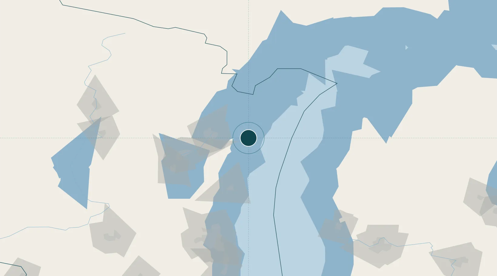
Location
Nearby Logistics Neighbours
Ports
- 1Algoma16 km
- 2Two Rivers36 km
- 3Green Bay41 km
- 4Sturgeon Bay42 km
- 5Manitowoc43 km
Cities
- 1Algoma15 km
- 2New Franken26 km
- 3Green Bay41 km
- 4Branch42 km
- 5De Pere44 km
Airports
Trade Zones
- 1FTZ No. 167 Brown County62 km
- 2FTZ No. 019 Omaha144 km
- 3FTZ No. 041 Milwaukee164 km
- 4FTZ No. 189 Kent Ottawa/Muskegon Counties168 km
- 5FTZ No. 266 Dane County236 km
DatabookThe Record of Consolidated Knowledge
United States beyond logistics?