Transport Functions
Road
Multimodal
Hub Profile
Place type
Populated place
Region
Wisconsin
Time zone
America/Chicago
Elevation
234 m
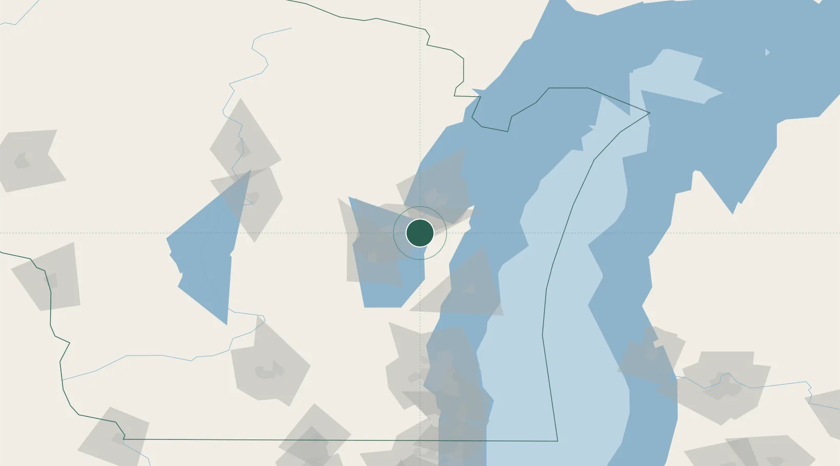
Location
Nearby Logistics Neighbours
Cities
- 1Wrightstown9 km
- 2Reedsville20 km
- 3Grand Chute22 km
- 4De Pere26 km
- 5Ashwaubenon27 km
Ports
- 1Kaukauna10 km
- 2Green Bay34 km
- 3Manitowoc44 km
- 4Two Rivers49 km
- 5Kewaunee59 km
Airports
Trade Zones
- 1FTZ No. 167 Brown County27 km
- 2FTZ No. 041 Milwaukee131 km
- 3FTZ No. 019 Omaha154 km
- 4FTZ No. 266 Dane County179 km
- 5FTZ No. 189 Kent Ottawa/Muskegon Counties187 km
DatabookThe Record of Consolidated Knowledge
United States beyond logistics?