UN/LOCODE hub · United States
USWXS
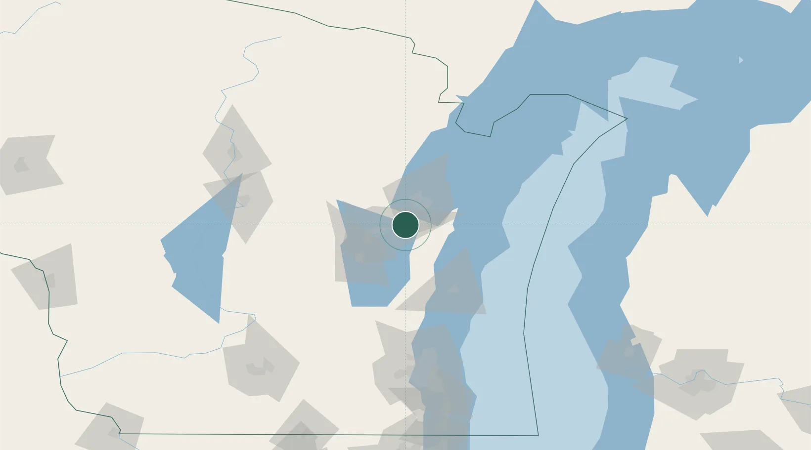
Wrightstown
44.3167°, -88.1667°
3,325
Population
3
Transport functions
Transport Functions
Port
Rail
Road
Hub Profile
Place type
Populated place
Region
Wisconsin
Population
3,325
Time zone
America/Chicago
Elevation
186 m
Location
Nearby Logistics Neighbours
Cities
- 1Holland9 km
- 2De Pere18 km
- 3Ashwaubenon18 km
- 4Grand Chute22 km
- 5Green Bay25 km
Ports
- 1Kaukauna9 km
- 2Green Bay25 km
- 3Manitowoc48 km
- 4Two Rivers51 km
- 5Kewaunee56 km
Airports
Trade Zones
- 1FTZ No. 167 Brown County19 km
- 2FTZ No. 041 Milwaukee140 km
- 3FTZ No. 019 Omaha161 km
- 4FTZ No. 266 Dane County186 km
- 5FTZ No. 189 Kent Ottawa/Muskegon Counties193 km
DatabookThe Record of Consolidated Knowledge
United States beyond logistics?