Medium airport · United States
Austin Straubel International AirportKGRB
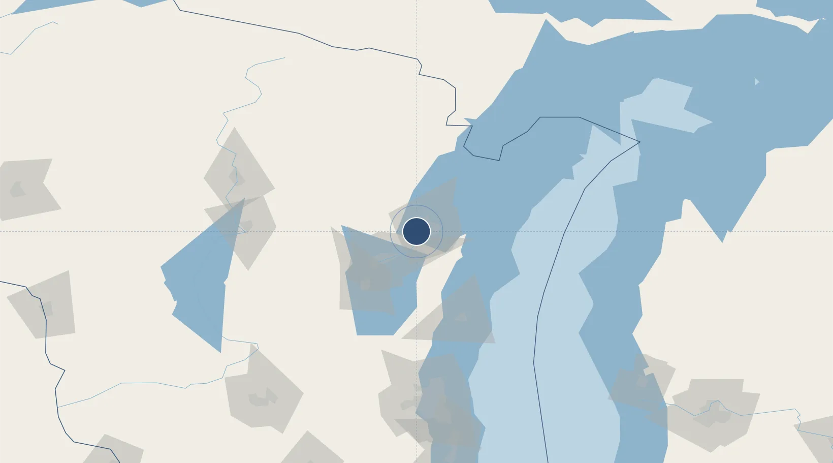
44.4835°, -88.1308°
8,700 ft
Longest runway
2
Runways
695 ft
Elevation
Runway & Layout

Radio Frequencies
ATIS
124.1 MHz
TWR
118.7 MHz
GREEN BAY TWR
GND
121.9 MHz
CLD
121.75 MHz
CLNC DEL
APP
119.4 MHz
GREEN BAY APP
DEP
126.55 MHz
GREEN BAY DEP
CTAF
118.7 MHz
RDO
122.2 MHz
GREEN BAY RDO
UNIC
122.95 MHz
UNICOM
Navaids
GR NDB Famis 356 kHz
GRB VORTAC Green Bay 115.50 MHz
SG NDB Depre 332 kHz
Runways · 2
| Runway | Dimensions | Surface | True heading | Lit |
|---|---|---|---|---|
| 18/36 | 8,700 × 150ft | Concrete | 180° | ✓ |
| 06/24 | 7,700 × 150ft | Concrete | 060° | ✓ |
Airport Specifications
IATA code
GRB
ICAO code
KGRB
Airport class
Medium airport
Scheduled service
Yes
Runway surface
Concrete
Served city
Green Bay
Location
Nearby Logistics Neighbours
Airports
- 1Appleton International Airport40 km
- 2Wittman Regional Airport65 km
- 3Central Wisconsin Airport126 km
- 4Wausau Downtown Airport128 km
- 5Ford Airport149 km
Cities
- 1Ashwaubenon4 km
- 2De Pere7 km
- 3Green Bay10 km
- 4Wrightstown19 km
- 5New Franken26 km
Trade Zones
- 1FTZ No. 167 Brown County13 km
- 2FTZ No. 041 Milwaukee159 km
- 3FTZ No. 019 Omaha172 km
- 4FTZ No. 266 Dane County202 km
- 5FTZ No. 189 Kent Ottawa/Muskegon Counties202 km
DatabookThe Record of Consolidated Knowledge
United States beyond logistics?