Channel & Berth Profile
Pilotage, Tugs & Services
Pilotage compulsoryYES
Local assistanceNO
Tug assistanceNO
Salvage tugsNO
Potable waterYES
Diesel bunkersYES
MedicalYES
Facilities & Capabilities
Container—
Ro-Ro—
Liquid bulk—
Dry bulk—
Oil terminal—
Break bulk—
Dry dock—
RepairsNO
BunkeringYES
Rail linkYES
Dangerous cargo—
ISPS security—
Harbour Specifications
Harbour size
Very Small
Harbour type
Coastal (Breakwater)
Shelter
Fair
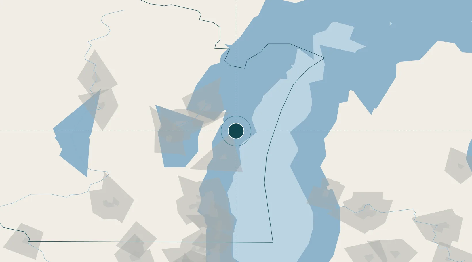
Water body
Lake Michigan; Great Lakes
Overhead limit
Yes
Pilotage
Yes
Location
Nearby Logistics Neighbours
Cities
- 1Branch15 km
- 2Clover17 km
- 3Valders27 km
- 4Reedsville31 km
- 5Kewaunee34 km
Airports
Trade Zones
- 1FTZ No. 167 Brown County67 km
- 2FTZ No. 019 Omaha116 km
- 3FTZ No. 041 Milwaukee129 km
- 4FTZ No. 189 Kent Ottawa/Muskegon Counties144 km
- 5FTZ No. 292 Lake County205 km
DatabookThe Record of Consolidated Knowledge
United States beyond logistics?