Foreign Trade Zone · United States
FTZ No. 266 Dane County Active
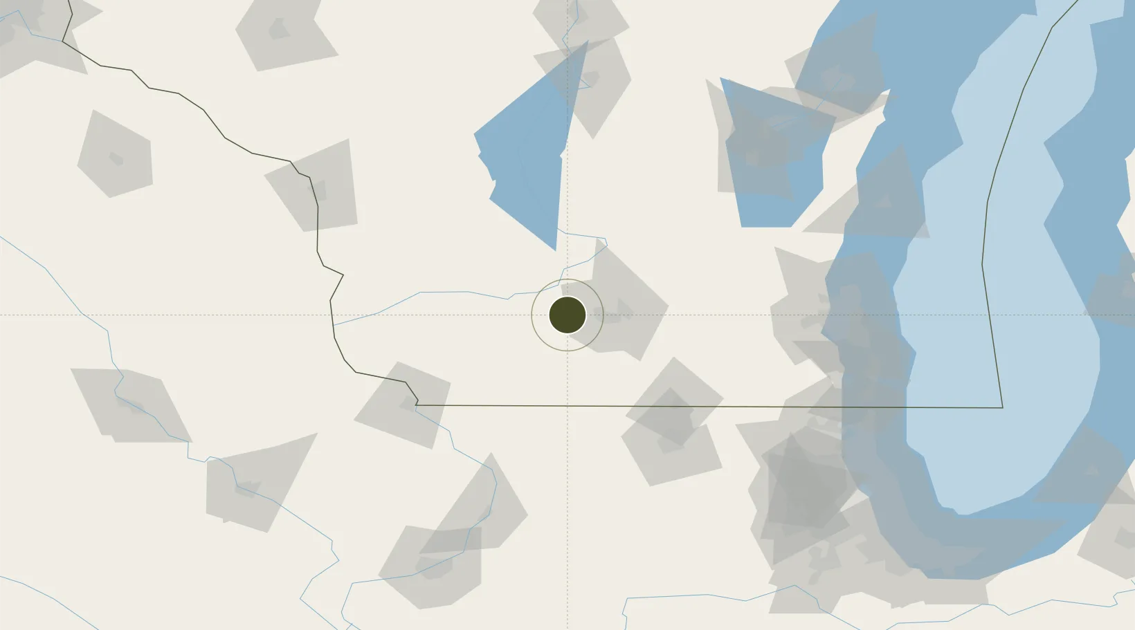
43.0693°, -89.7042°
148.0 km
Nearest port
30.8 km
Nearest airport
Gateway access
Zone profile
Zone type
Foreign Trade Zone
Region
Wisconsin
Status
Active
Management
Public
Operator
Dane County
Legal framework
Foreign-Trade Zones Act
Location
Nearby Logistics Neighbours
Ports
- 1Milwaukee148 km
- 2Port Washington153 km
- 3Racine161 km
- 4Kenosha163 km
- 5Waukegan173 km
Airports
- 1Dane County Regional Truax Field31 km
- 2Volk Field106 km
- 3Chicago Rockford International Airport109 km
- 4Dubuque Regional Airport111 km
- 5Wittman Regional Airport138 km
Cities
- 1Mount Horeb8 km
- 2Mazomanie13 km
- 3Verona17 km
- 4Sauk City22 km
- 5Prairie du Sac24 km
Trade Zones
- 1FTZ No. 271 Jo-Daviess and Carroll Counties95 km
- 2FTZ No. 176 Rockford99 km
- 3FTZ No. 041 Milwaukee130 km
- 4FTZ No. 292 Lake County170 km
- 5FTZ No. 167 Brown County192 km
DatabookThe Record of Consolidated Knowledge
United States beyond logistics?