Medium airport · United States

Central Wisconsin AirportKCWA
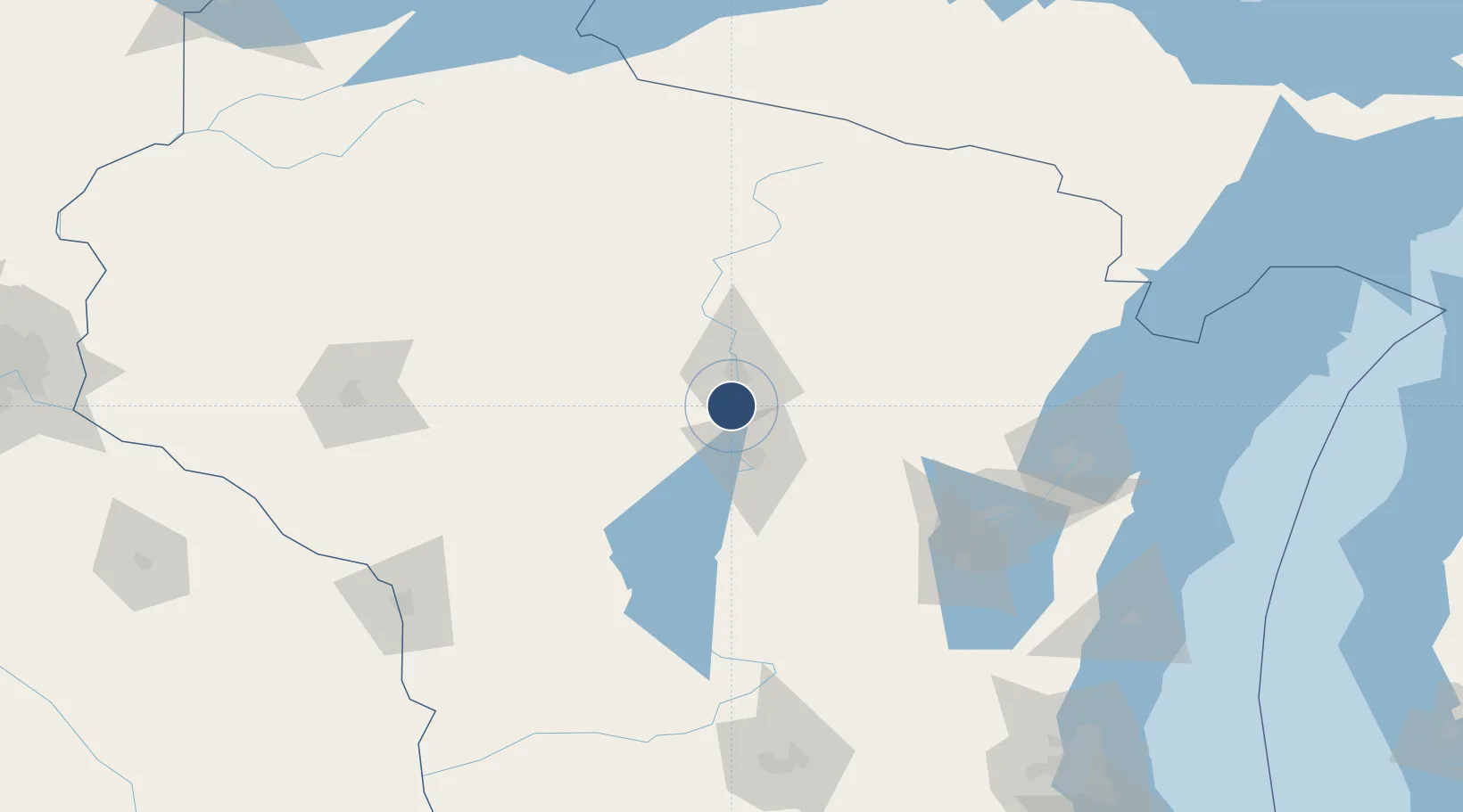
44.7774°, -89.6702°
7,723 ft
Longest runway
2
Runways
1,277 ft
Elevation

Runway & Layout

Central Wisconsin Airport runway & taxiway layout
Runway & taxiway layout — OpenStreetMap (ODbL) / OurAirports

Radio Frequencies

ATIS
127.45 MHz
AWOS
127.45 MHz
AWOS 3
TWR
119.75 MHz
GND
121.9 MHz
CTAF
119.75 MHz
CNTR
124.4 MHz
MINNEAPOLIS CNTR
RDO
122.525 MHz
GREEN BAY RDO
UNIC
122.95 MHz
UNICOM
OurAirports

Runways · 2

RunwayDimensions SurfaceTrue headingLit
08/26 7,723 × 150ft Concrete 077°
17/35 6,501 × 150ft Concrete 170°
OurAirports

Airport Specifications

IATA code
CWA
OurAirports
ICAO code
KCWA
OurAirports
Airport class
Medium airport
OurAirports
Scheduled service
Yes
OurAirports
Runway surface
Concrete
OurAirports
Served city
Mosinee
OurAirports

Location

Location of KCWA
Natural Earth 10m (public domain) · Wisconsin · KCWA · 44.78, -89.67GoogleOSMYandex

Nearby Logistics Neighbours

Airports
  1. 1Wausau Downtown Airport17 km
  2. 2Rhinelander Oneida County Airport96 km
  3. 3Volk Field104 km
  4. 4Appleton International Airport108 km
  5. 5Wittman Regional Airport125 km
Nearest neighbours — logibook spatial index (haversine) over the source coordinates
Cities
  1. 1Mosinee2 km
  2. 2Ringle23 km
  3. 3Milladore24 km
  4. 4Stratford31 km
  5. 5Auburndale32 km
Nearest neighbours — logibook spatial index (haversine) over the source coordinates
Ports
  1. 1Kaukauna124 km
  2. 2Green Bay134 km
  3. 3Oconto146 km
  4. 4Marinette167 km
  5. 5Menominee168 km
Nearest neighbours — logibook spatial index (haversine) over the source coordinates
Trade Zones
  1. 1FTZ No. 167 Brown County115 km
  2. 2FTZ No. 266 Dane County190 km
  3. 3FTZ No. 041 Milwaukee229 km
  4. 4FTZ No. 271 Jo-Daviess and Carroll Counties278 km
  5. 5FTZ No. 119 Minneapolis-St. Paul282 km
Nearest neighbours — logibook spatial index (haversine) over the source coordinates
DatabookThe Record of Consolidated Knowledge
United States beyond logistics?
Browse databook

All Sources

AirportsOurAirports
Public domain
Portsthe NGA World Port Index
Public domain (US gov)
LocationsUN/LOCODE
UN/LOCODE — free
Trade Zonesthe World Bank SEZ database
CC BY 4.0
Trade ZonesOpen Zone Map
CC BY
InfrastructureOpenStreetMap
ODbL 1.0
← United States airports