UN/LOCODE hub · United States
USAWB
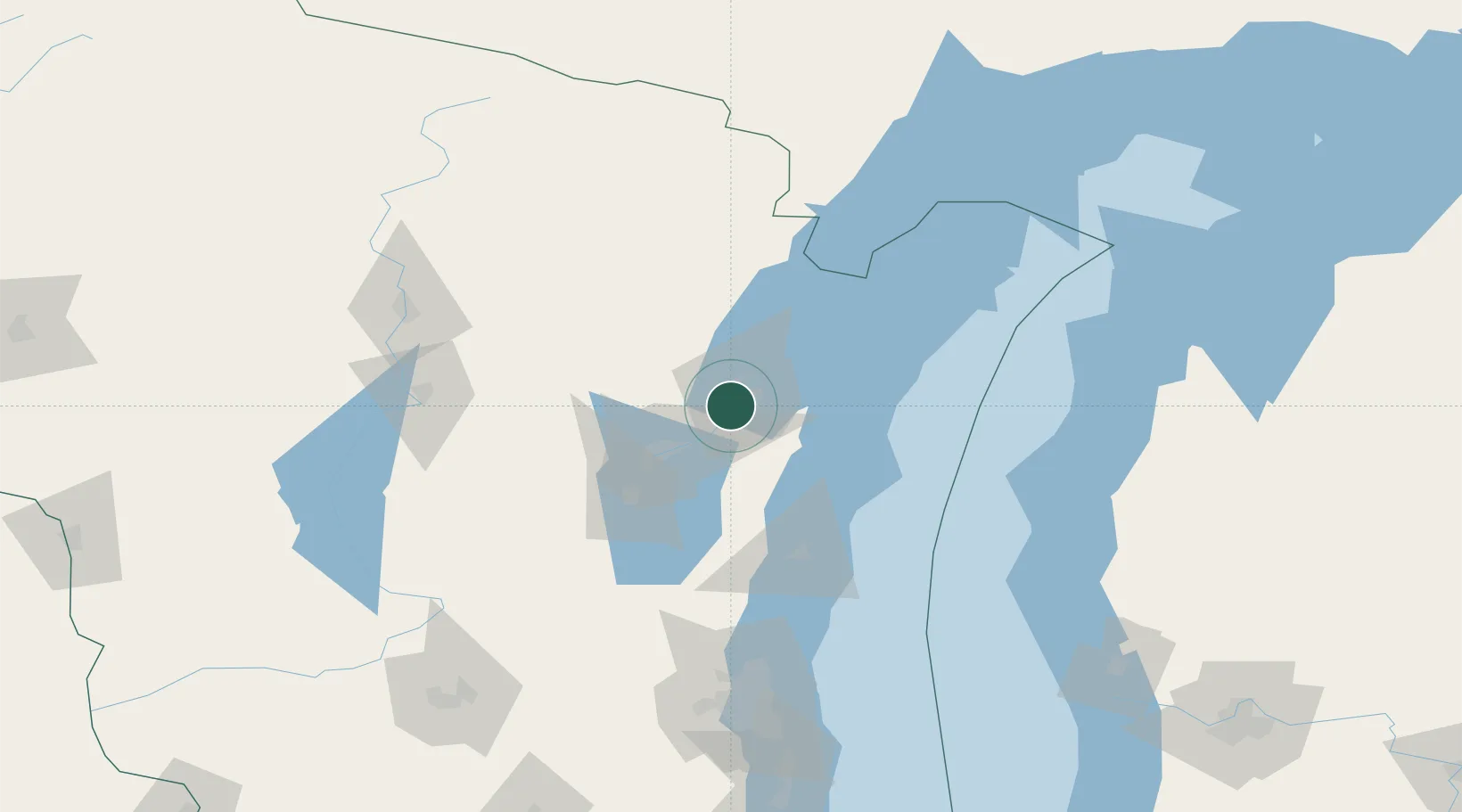
Ashwaubenon
44.4667°, -88.0833°
17,176
Population
2
Transport functions
Transport Functions
Rail
Road
Hub Profile
Place type
Populated place
Region
Wisconsin
Population
17,176
Time zone
America/Chicago
Elevation
185 m
Location
Nearby Logistics Neighbours
Cities
- 1De Pere3 km
- 2Green Bay8 km
- 3Wrightstown18 km
- 4New Franken22 km
- 5Holland27 km
Airports
Trade Zones
- 1FTZ No. 167 Brown County16 km
- 2FTZ No. 041 Milwaukee157 km
- 3FTZ No. 019 Omaha169 km
- 4FTZ No. 189 Kent Ottawa/Muskegon Counties198 km
- 5FTZ No. 266 Dane County203 km
DatabookThe Record of Consolidated Knowledge
United States beyond logistics?